
Maps
'n' More
Created
By
Sharon McAllister

|
|
Maps
'n' More |
|
|
|
||
|
|
|
||
|
|
|
|
|
|
|
|
|
|
|
|
|
|
|
|
|
|||
| Back to Hughes County Township Maps | Back to Hughes County Cemetery Lists |
Hughes - T6N-R11E
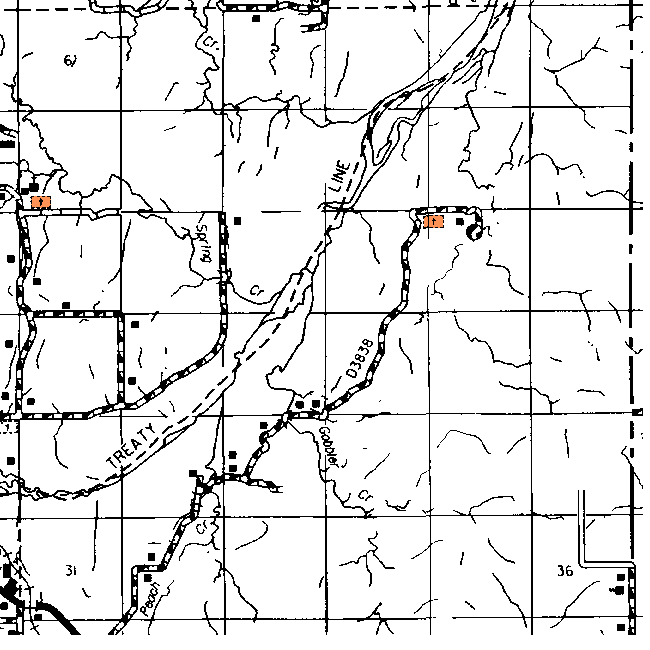
The cemetery in the SW corner of Sec 7 is shown as Spring Creek.
The one in Section 14 is not shown on the topographic map.
| Cemetery | Directions/Comments/Links | Sec | Latitude | Longitude | Quad |
| Spring Creek Cemetery | See Above Map | 7 | 350001N | 0961126W | Lamar |
Click on cemetery name for more details from GNIS. Use Lat/Long and Quad name for consulting conventional maps or searching Topozone.
![]()
|
Page last updated
on
Monday, April 20, 2026
This site maintained by
Mel Owings
![]()