|
Counties with
Corresponding 1900
O. T. Enumeration Districts
The 1900 Census of Oklahoma Territory covers
the organized
counties of Oklahoma Territory and the Osage/Kaw, Wichita/Kiowa/Apache
Lands. Using the census data now available online, it's possible
to
find records and still not easily pinpoint the modern-day location
because
present-day counties did not exist in 1900.
The following table, organized by
present-day county, provides links to sketches of the ED boundaries and
to
various maps that show the rivers
[1915 maps], and township boundaries [Township Maps and DoT Maps].
For those counties whose sketches are not yet
online,
descriptions of the EDs are included on the EDs
Worksheet.
Sharon Crawford's map
set provides the boundaries of named townships for many of the
present-day
counties. In some cases, larger Territorial Townships have been
divided
into smaller modern ones but we have not been able to determine the old
boundaries. The ED numbers in black show the blocks of EDs for
the Territorial County or Counties that contained all or part of a
present-day county. Numbers in Red are the EDs that have been
matched to present-day counties and either have a sketch online or in
progress.
| County |
O.T. County |
ED Sketch |
Township Map |
1915 Map |
1972 Map |
DoT Maps |
1900 EDs |
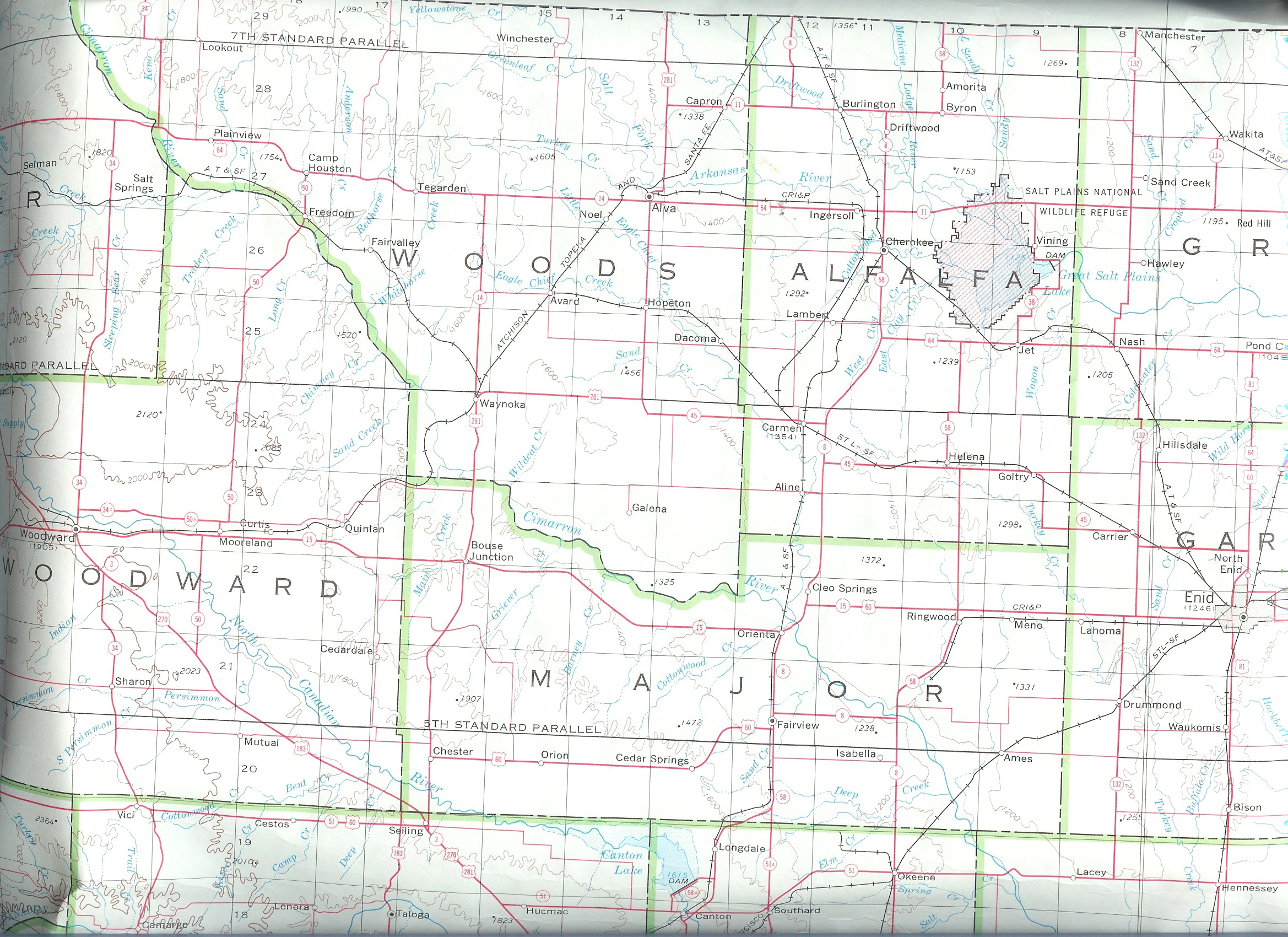
| Alfalfa |
Woods |
N/A |
Map |
Alfalfa
1915 |
USGS
Color |
Alfalfa
DoT |
? |
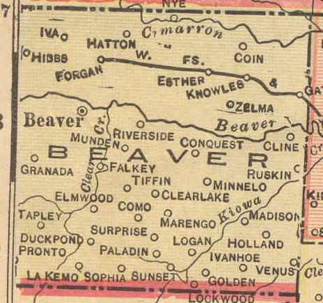
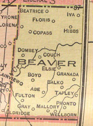
| Beaver |
Beaver |
N/A |
N/A |
Beaver
1915 East - Beaver
1915 West |
USGS Color |
Beaver
DoT |
1-7 |
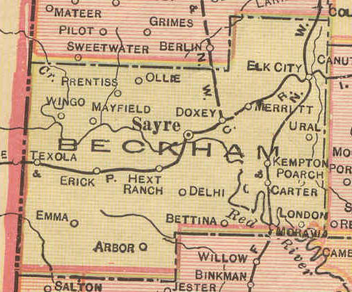
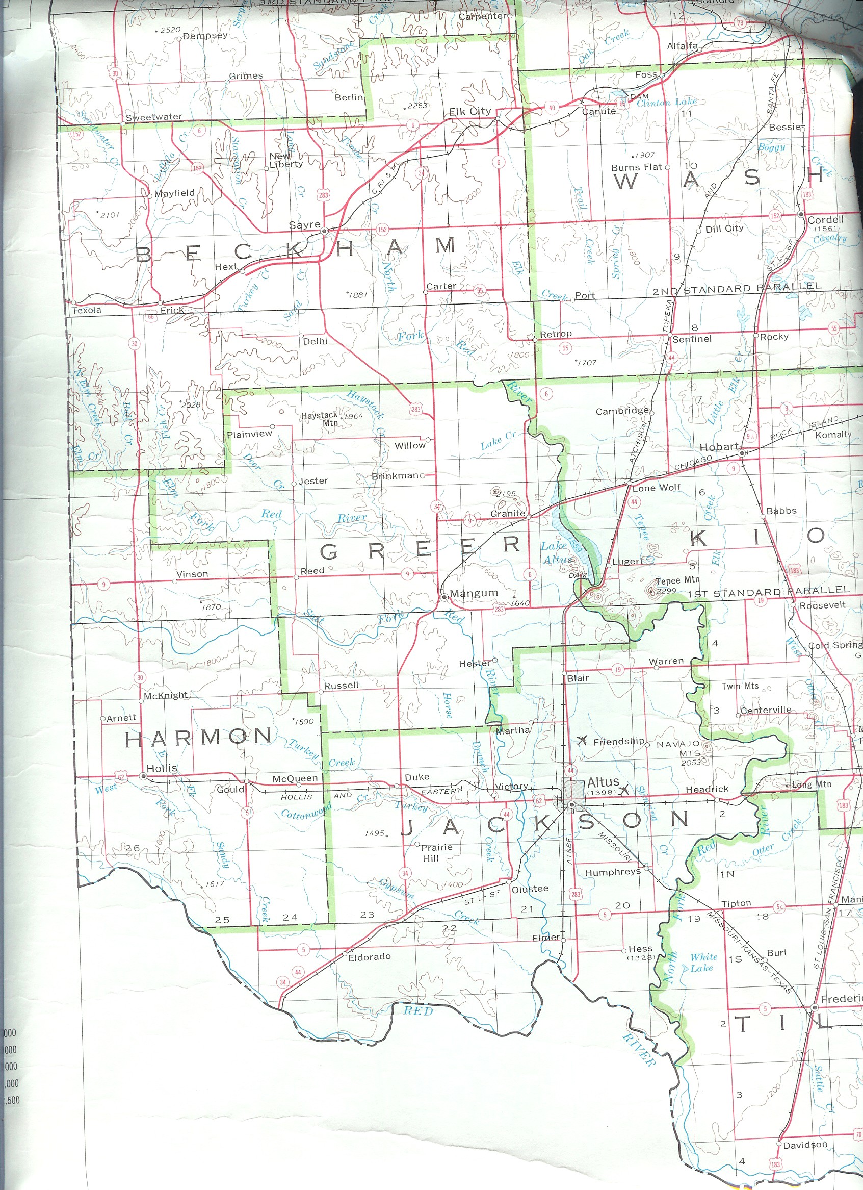
| Beckham |
Greer & Roger Mills |
N/A |
N/A |
Beckham
1915 |
USGS
Color |
Beckham
DoT |
? |
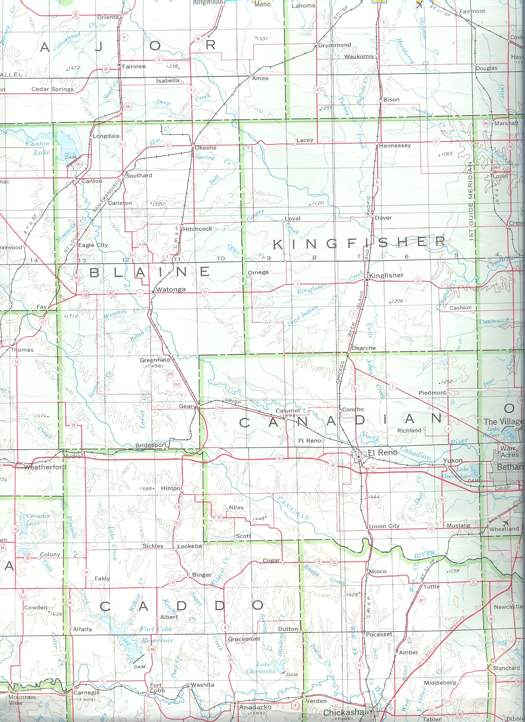
| Blaine |
Blaine & part of Wichita Res. |
N/A |
N/A |
Blaine
1915 |
USGS Color |
Blaine
DoT |
8-15 |
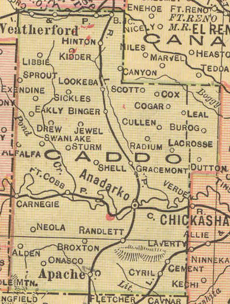
| Caddo |
Wichita Lands and Kiowa, Comanche,
Apache Lands |
N/A |
Map |
Caddo
1915 |
USGS Color |
Caddo
DoT |
? |
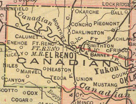
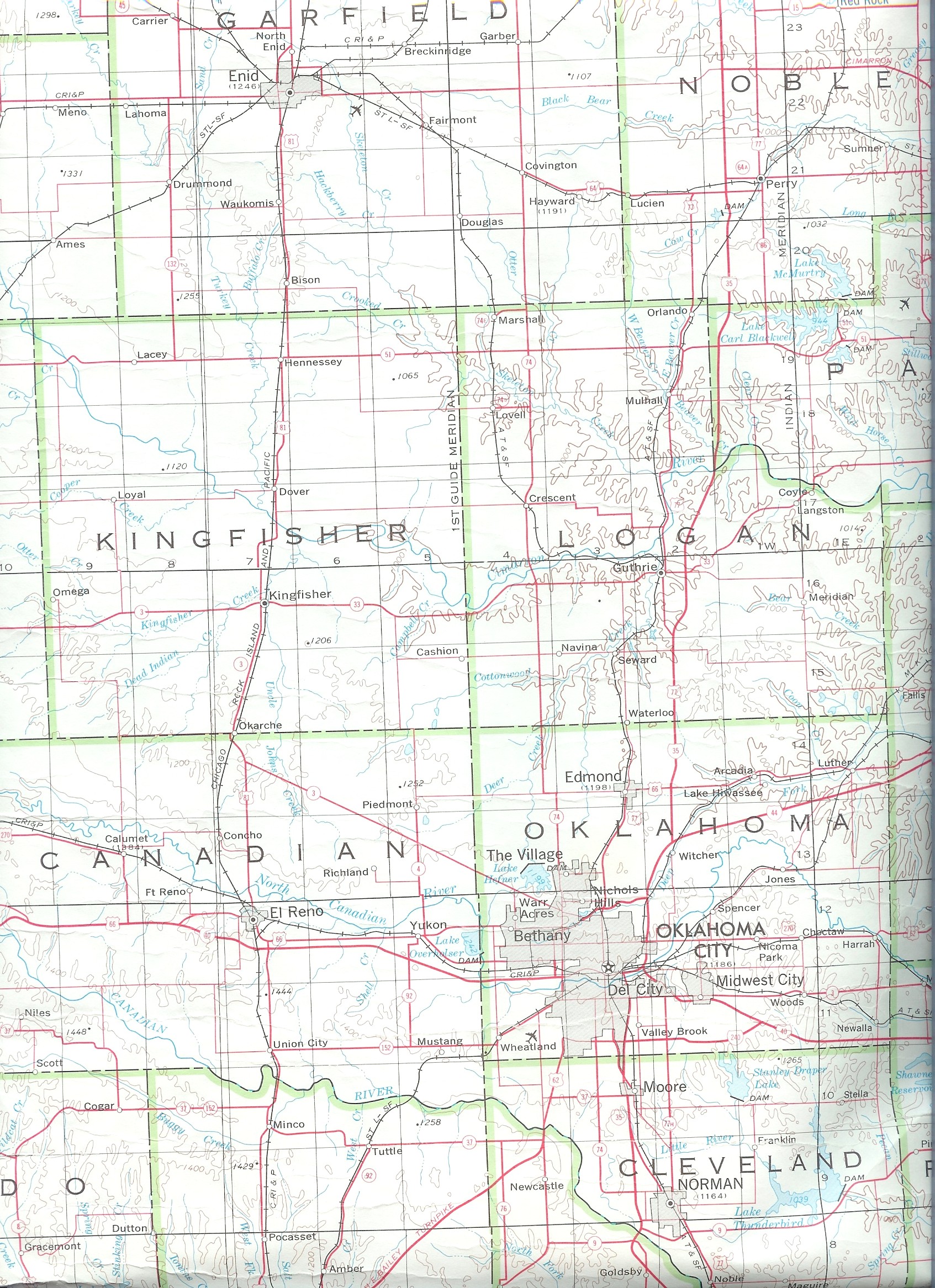
| Canadian |
Canadian and part of Wichita Res. |
N/A |
N/A |
Canadian
1915 |
USGS Color |
Canadian
DoT |
16-24 |
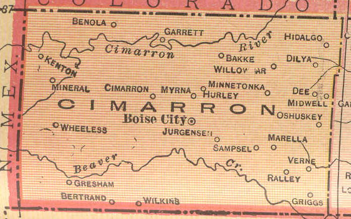
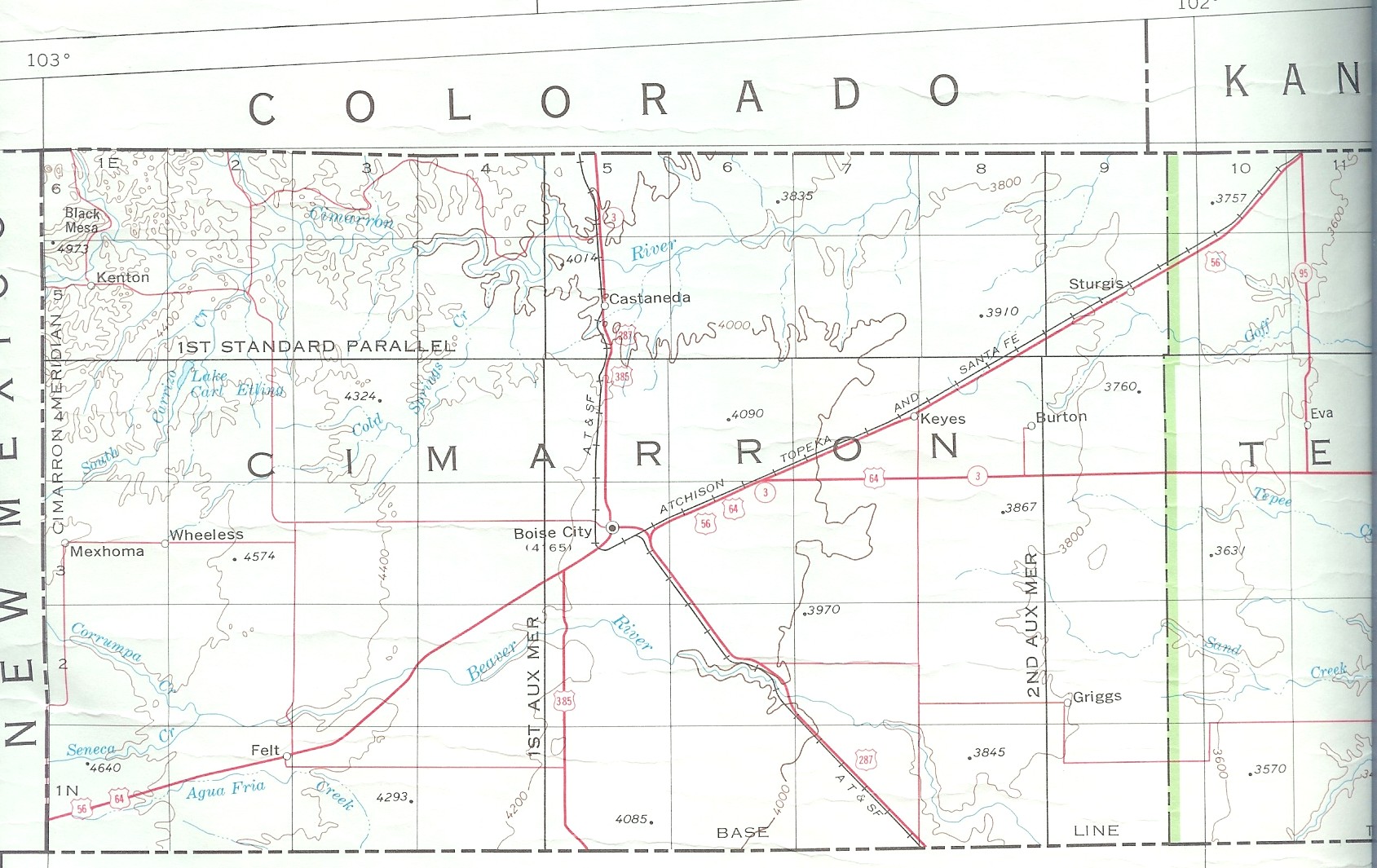
| Cimarron |
Beaver |
N/A |
N/A |
Cimarron
1915 |
USGS Color |
Cimarron
DoT |
1-7 |
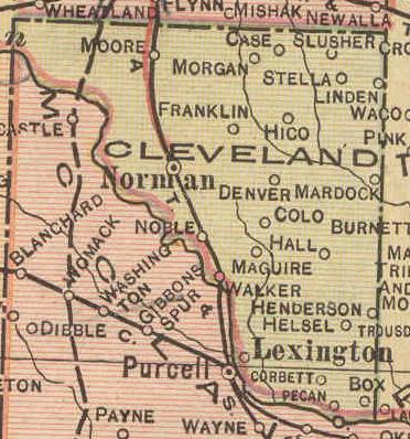
| Cleveland |
Cleveland |
N/A |
N/A |
Cleveland
1915 |
USGS
Color |
Cleveland
DoT |
25-34 |
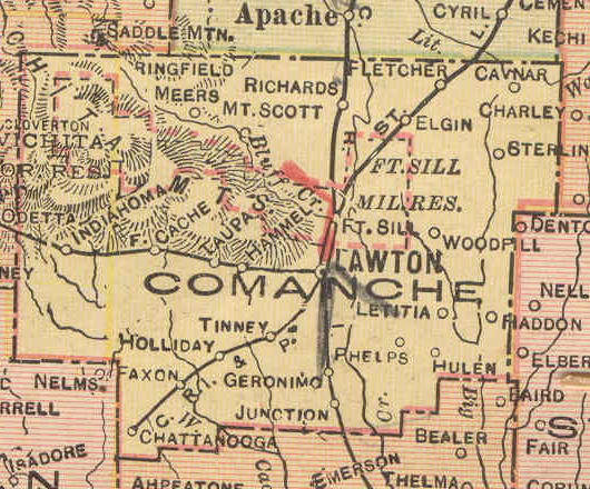
| Comanche |
Kiowa, Comanche, Apache Lands |
N/A |
Map |
Comanche
1915 |
USGS
Color |
Comanche
DoT |
? |
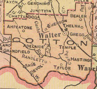
| Cotton |
Kiowa, Comanche, Apache Lands |
N/A |
N/A |
Cotton
1915 |
USGS
Color |
Cotton
DoT |
? |
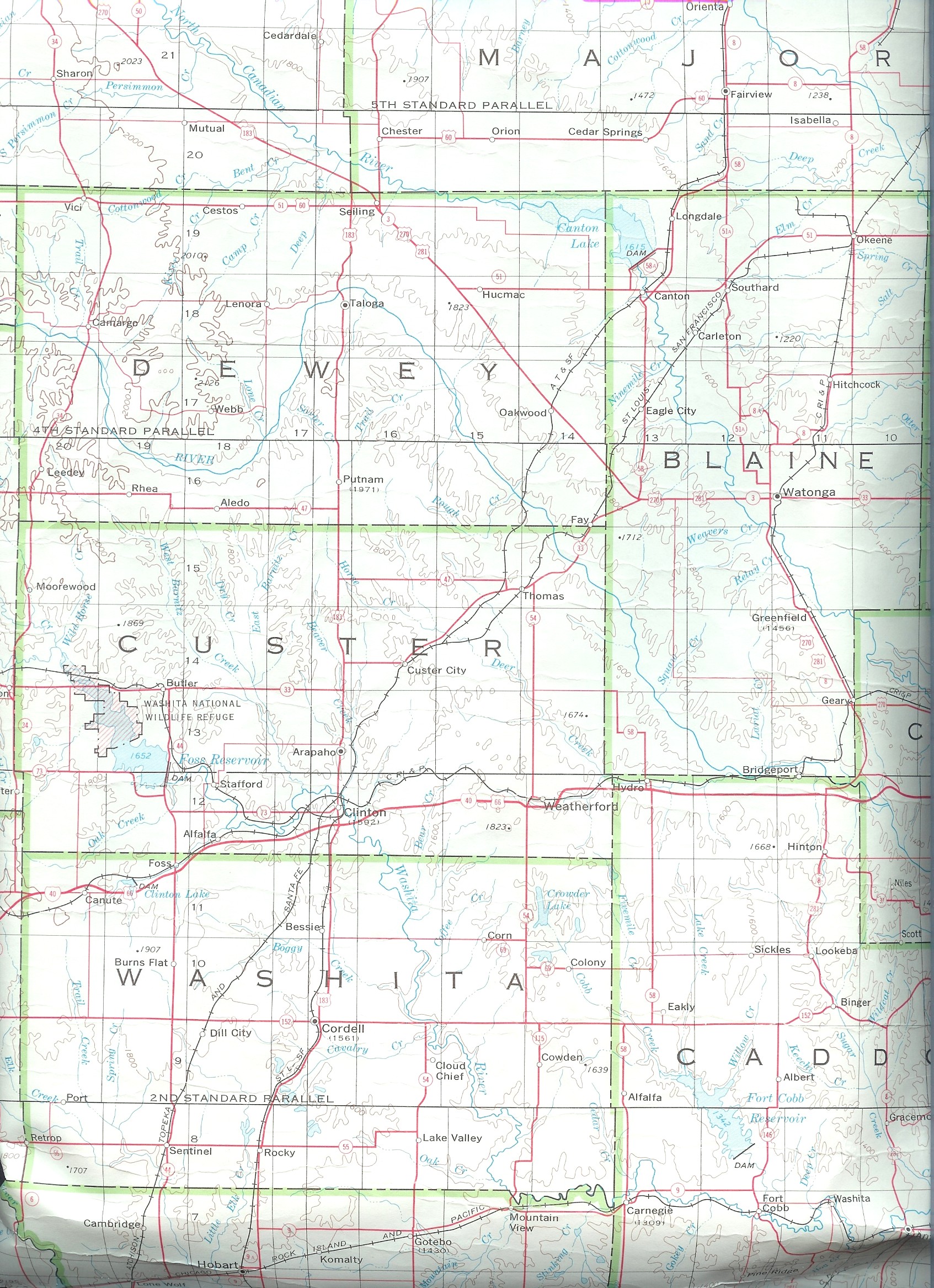
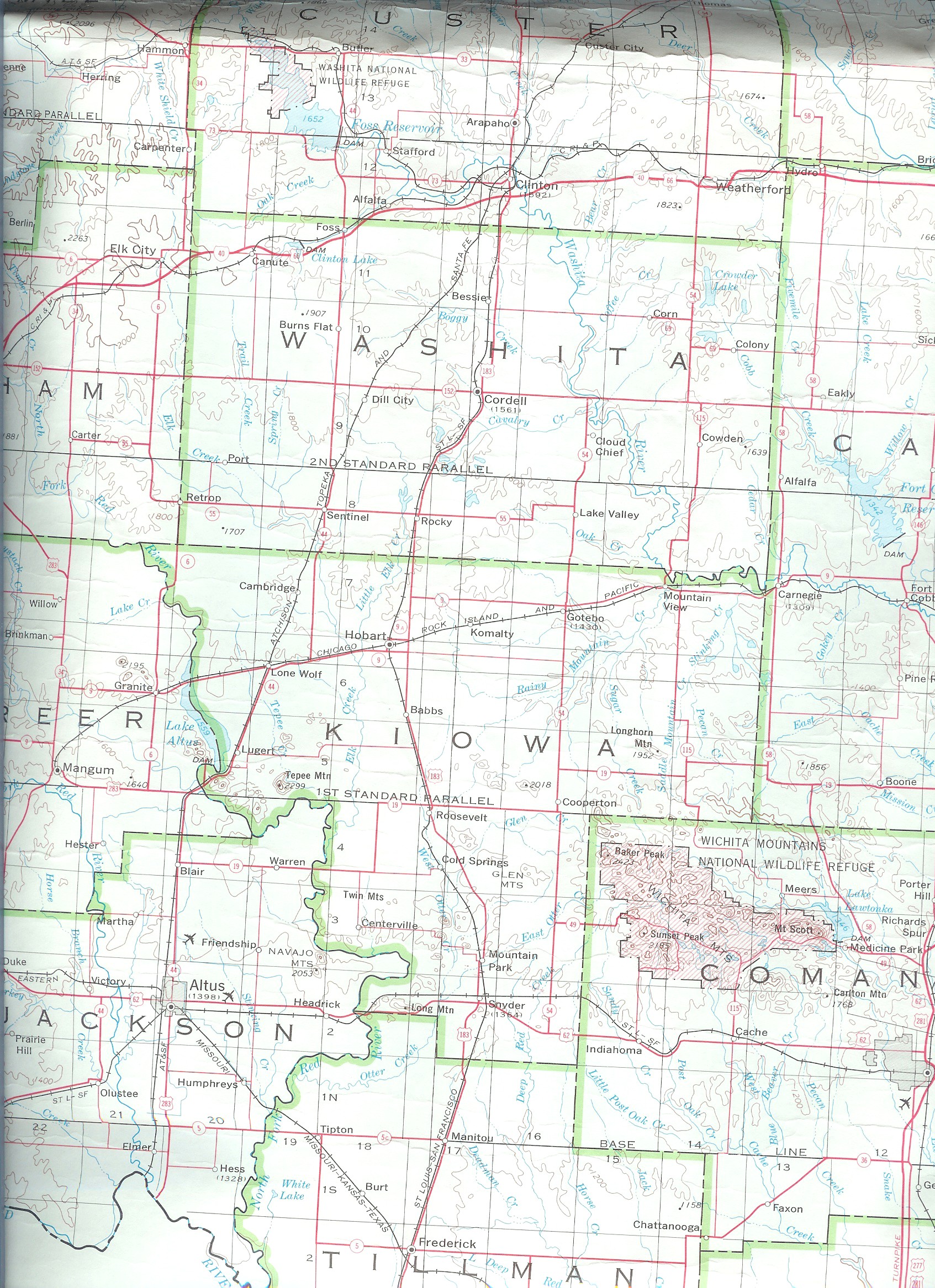
| Custer |
Custer |
N/A |
N/A |
Custer
1915 |
USGS
Color |
Custer
DoT |
35-40 |
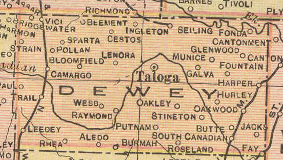
| Dewey |
Dewey |
N/A |
Map |
Dewey
1915 |
USGS
Color |
Dewey
DoT |
43-47 |
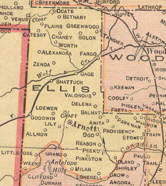
| Ellis |
Day & Woodward |
N/A |
N/A |
Ellis
1915 |
USGS Color |
Ellis
DoT |
|
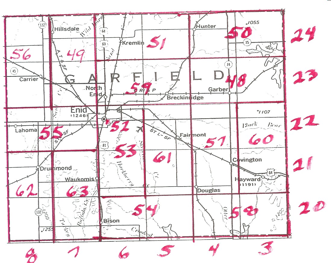
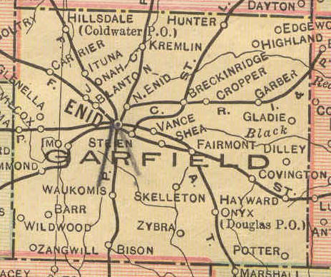
| Garfield |
Garfield |
Sketch |
Map |
Garfield
1915 |
USGS
Color |
Garfield
DoT |
48-63 |
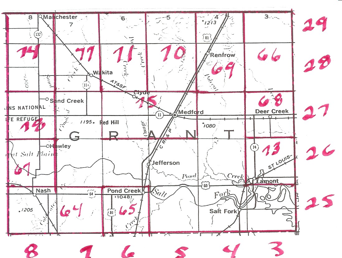
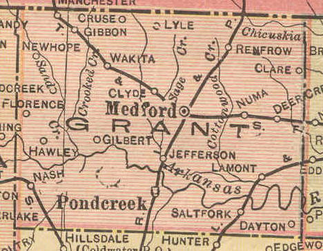
| Grant |
Grant |
Sketch |
Map |
Grant
1915 |
USGS
Color |
Grant
DoT |
64-78 |
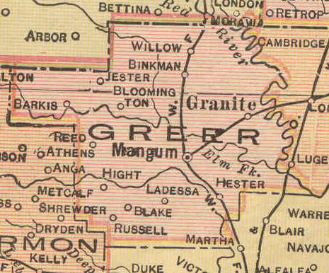
| Greer |
Greer |
N/A |
N/A |
Greer
1915 |
USGS
Color |
Greer
DoT |
79-85 |
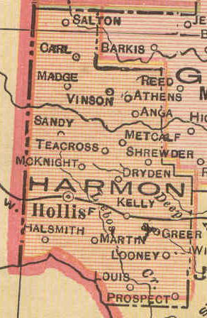
| Harmon |
Greer |
N/A |
N/A |
Harmon
1915 |
USGS
Color |
Harmon
DoT |
? |
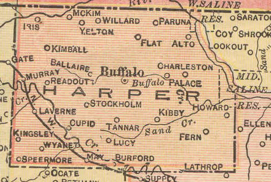
| Harper |
Woodward |
N/A |
N/A |
Harper
1915 |
USGS
Color |
Harper
DoT |
? |
| Jackson |
Greer |
N/A |
N/A |
Jackson
1915 |
USGS
Color |
Jackson
DoT |
? |
| Kay |
Kay |
N/A |
N/A |
Kay
1915 |
USGS
Color |
Kay
DoT |
86-101 |
| Kingfisher |
Kingfisher |
N/A |
Map |
Kingfisher
1915 |
USGS Color |
Kingfisher
DoT |
102-115 |
| Kiowa |
Kiowa, Comanche, Apache Lands |
N/A |
N/A |
Kiowa
1915 |
USGS Color |
Kiowa
DoT |
? |
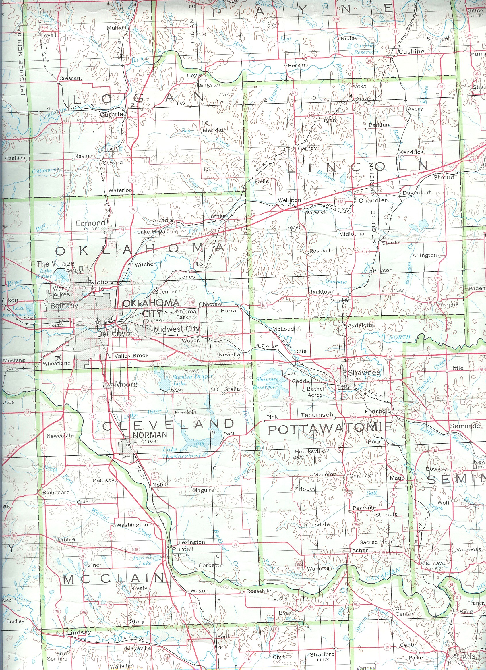
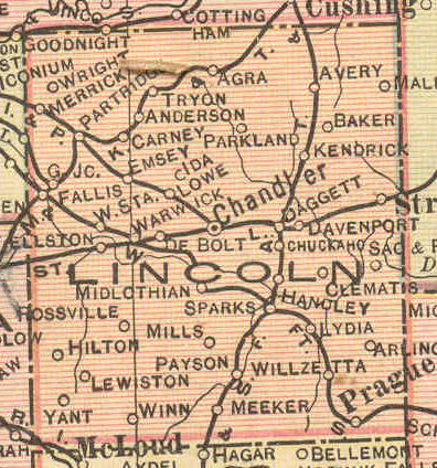
| Lincoln |
Lincoln |
Sketch |
Map |
Lincoln
1915 |
USGS
Color |
Lincoln
DoT |
116-130 |
| Logan |
Logan |
Sketch |
Map |
Logan
1915 |
USGS
Color |
Logan
DoT |
131-146 |
| Major |
Woods |
N/A |
Map |
Major
1915 |
USGS Color |
Major
DoT |
? |
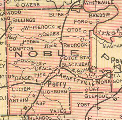
| Noble |
Noble, Payne, Ponca, Otoe &
Missouri Res. |
Sketch |
Map |
Noble
1915 |
USGS
Color |
Noble
DoT |
146-154, 180,
184, 253, 254 |
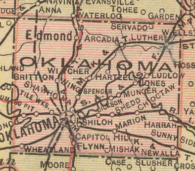
| Oklahoma |
Oklahoma |
Sketch |
Map |
Oklahoma
1915 |
USGS
Color |
Oklahoma
DoT |
155-172 |
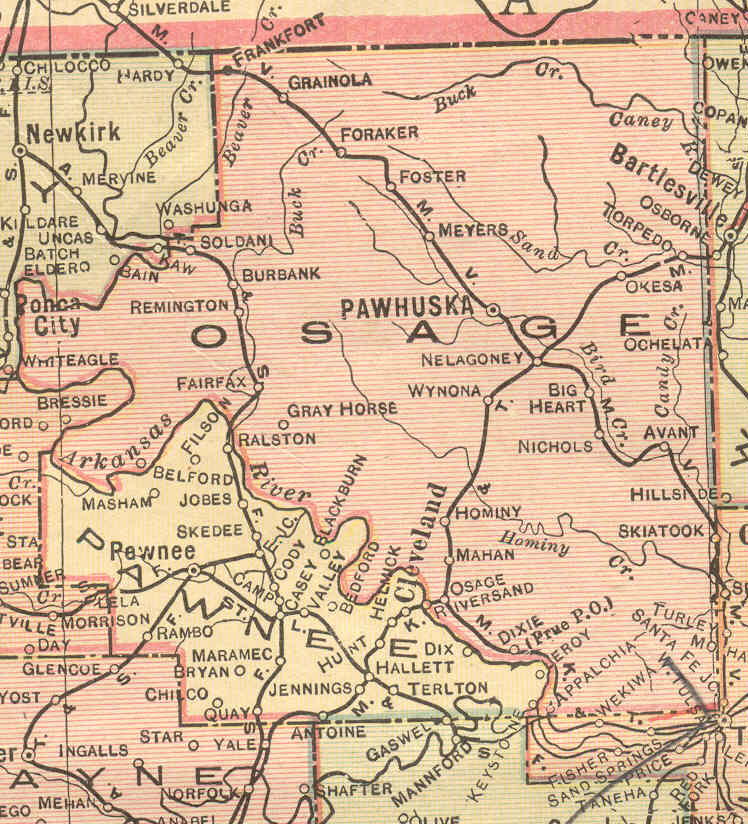
| Osage |
Osage |
N/A |
Map |
Osage
1915 |
USGS
Color |
Osage
DoT |
255 |
| Pawnee |
Pawnee |
N/A |
Map |
Pawnee
1915 |
USGS
Color |
Pawnee
DoT |
173-179 |
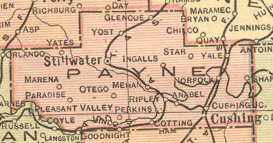
| Payne |
Payne |
Sketch |
Map |
Payne
1915 |
USGS
Color |
Payne
DoT |
180-190 |
| Pottawatomie |
Pottawatomie |
N/A |
Map |
Pottawatomie
1915 |
USGS
Color |
Pottawatomie
DoT |
191-202 |
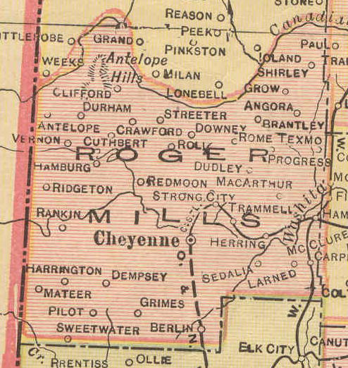
| Roger Mills |
Day, Ellis, Roger Mills |
N/A |
N/A |
Roger
Mills 1915 |
USGS Color |
Roger
Mills DoT |
203-205 |
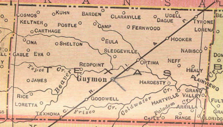
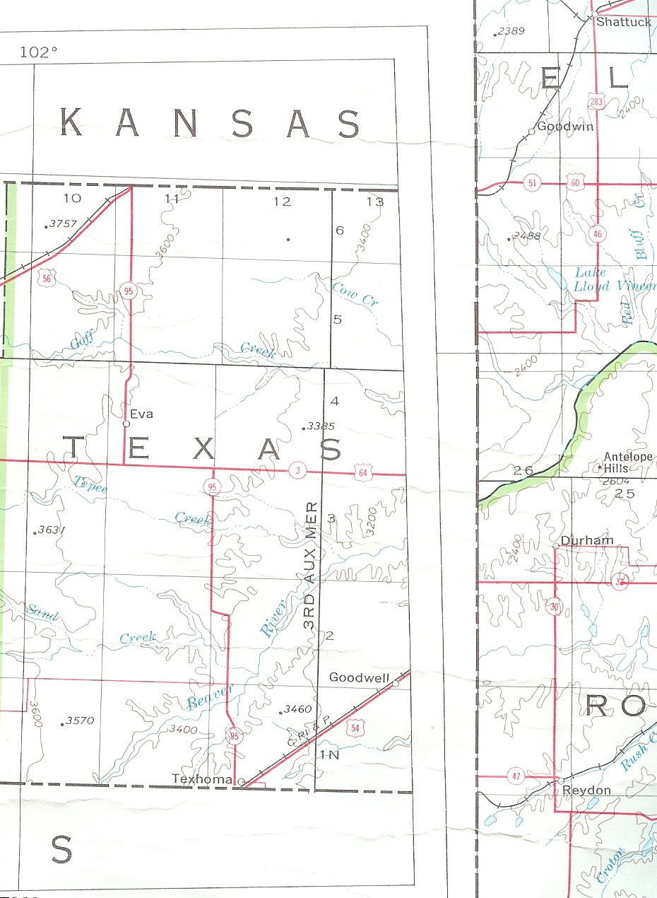
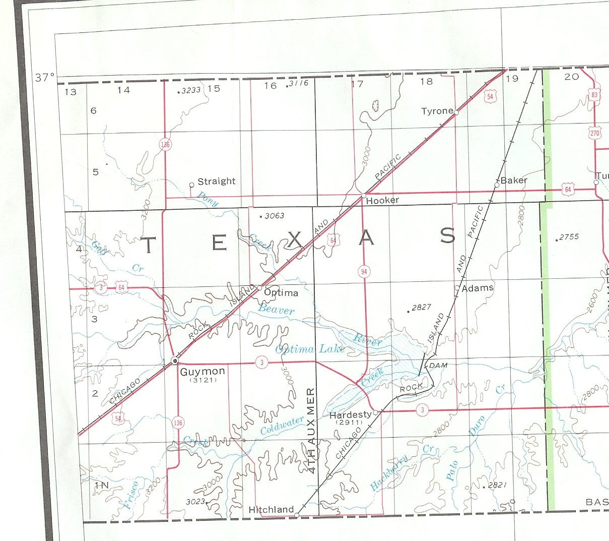
| Texas |
Beaver |
N/A |
N/A |
Texas
1915 |
USGS Color |
Texas
DoT |
1-7 |
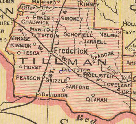
| Tillman |
Kiowa, Comanche, Apache Lands |
N/A |
N/A |
Tillman
1915 |
USGS
Color |
Tillman
DoT |
? |
| Washita |
Washita |
N/A |
N/A |
Washita
1915 |
USGS
Color |
Washita
DoT |
206-211 |
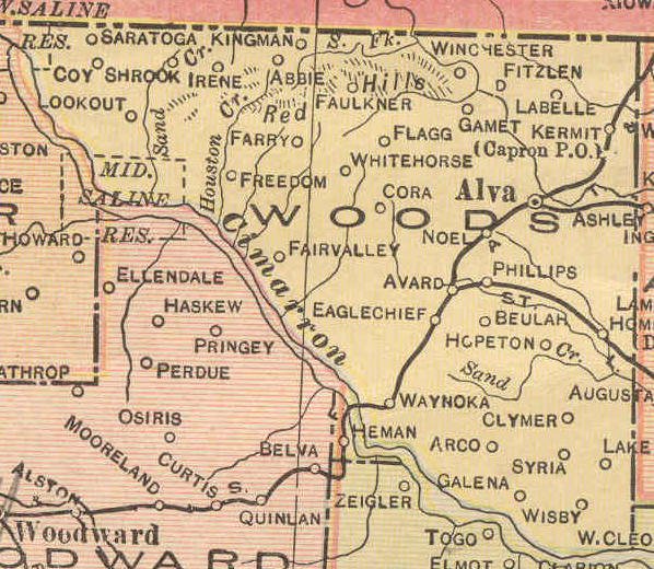
| Woods |
Woods & Woodward |
N/A |
Map |
Woods
1915 |
USGS
Color |
Woods
DoT |
212-243 |
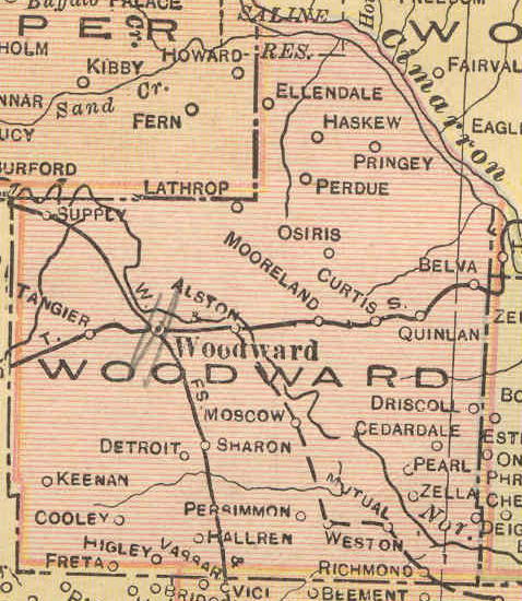
| Woodward |
Woodward |
N/A |
N/A |
Woodward
1915 |
USGS
Color |
Woodward
DoT |
244-251 |
| USGS Color Map |
Counties Covered |
| Beaver |
Beaver |
| Caddo |
Caddo |
| Canadian
Plus |
Blaine, Canadian, Kingfisher |
| Cimarron |
Cimarron |
| Comanche-Plus |
Comanche, Cotton, Tillman |
| Custer-Plus |
Custer, Dewey, Washita |
| Ellis Plus |
Ellis, Roger Mills, Woodward |
| Kiowa |
Kiowa, Washita |
| Logan
Plus |
Logan, Kingfisher |
| Major
Plus |
Alfalfa, Major |
| Northern
O.T. |
Alfalfa, Garfield, Grant |
| Old
Greer |
Beckham, Greer, Harmon, Jackson |
| Osage-Plus |
Kay, Noble, Osage, Payne |
| Sac-Fox-Plus |
Cleveland, Lincoln, Oklahoma,
Pottawatomie |
| Northwest-OT |
Harper, Woods, Woodward |
| Texas-West
and Texas-East |
Texas -- shown in two parts on the
original map |
Questions or comments? E-mail: Sharon McAllister
|


