OKGenWeb Logo

Maps 'n' More
Created By Sharon McAllister

USGenWeb Logo

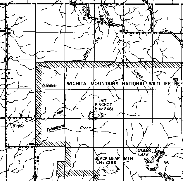
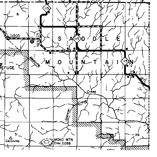
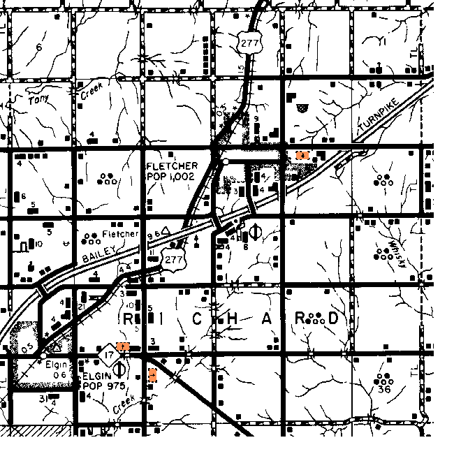
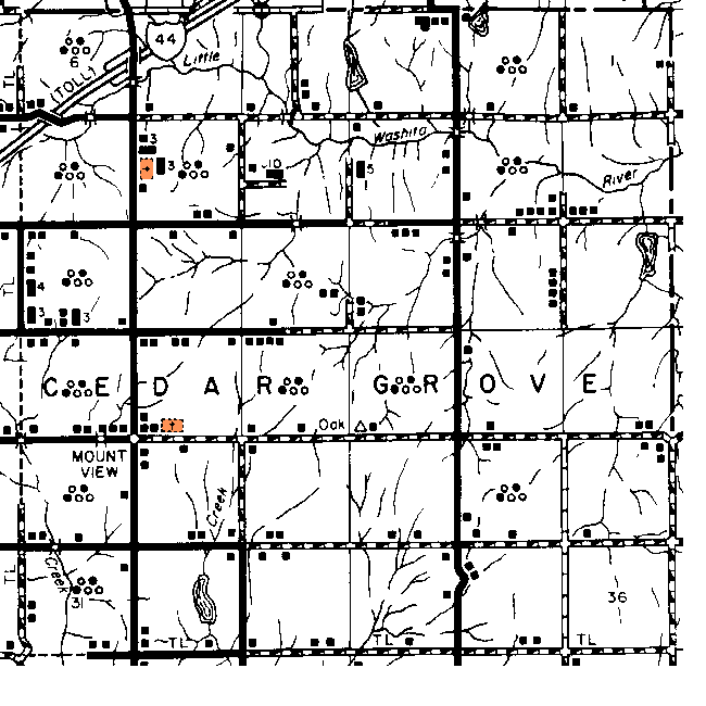
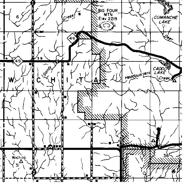
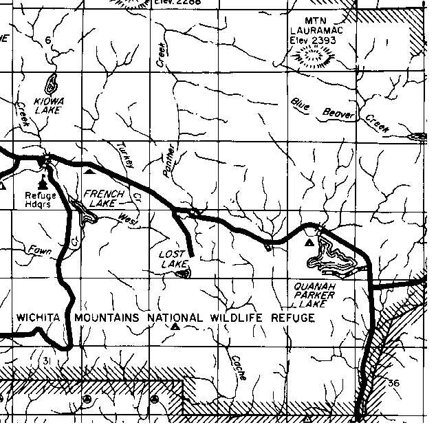
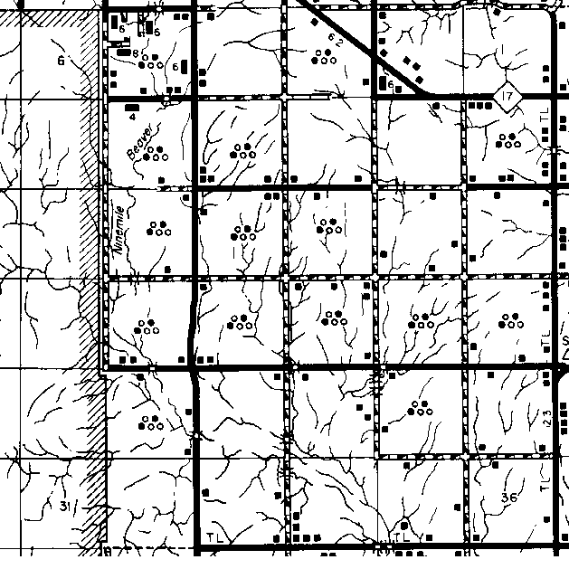
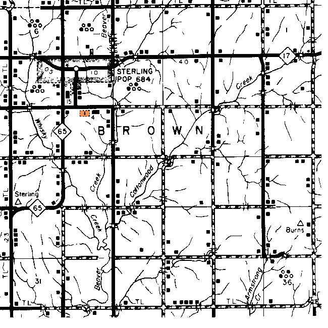
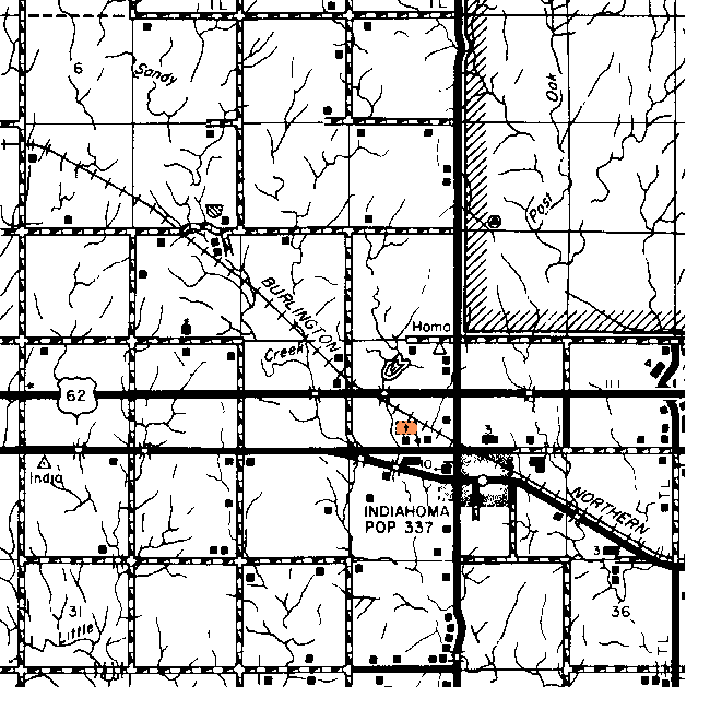
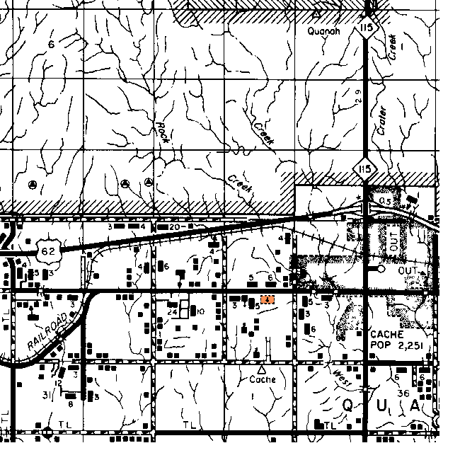
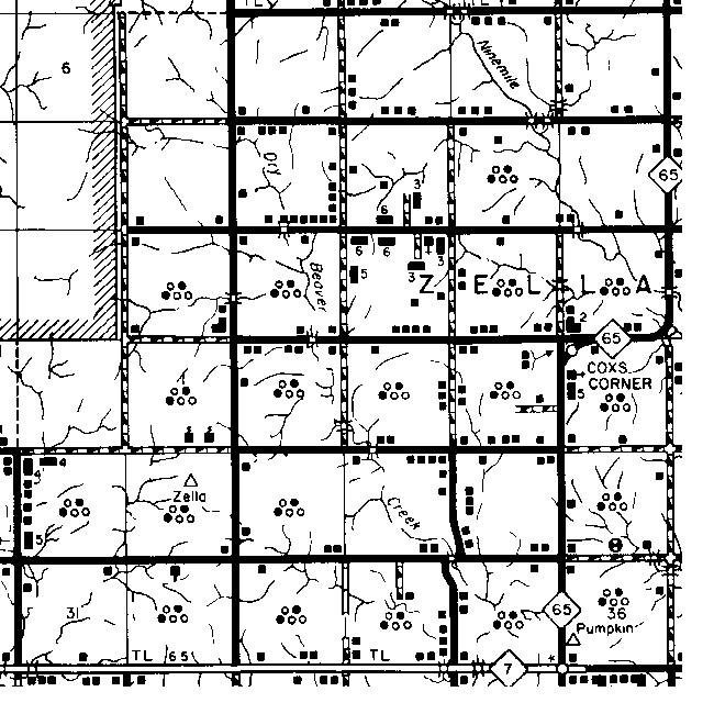
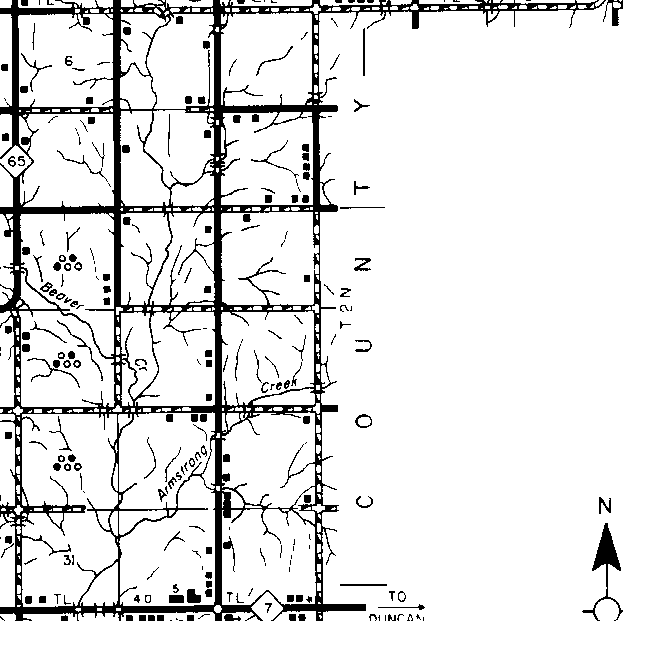
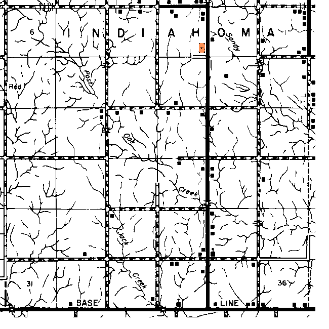
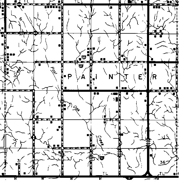
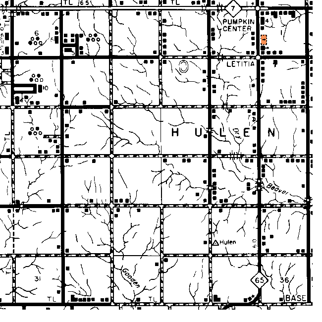
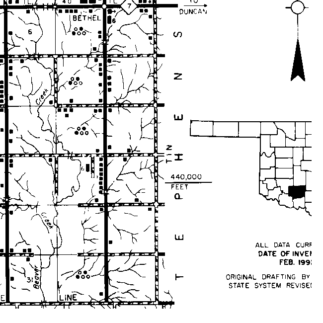
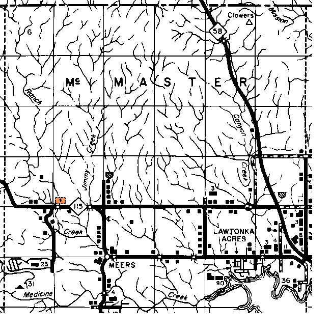
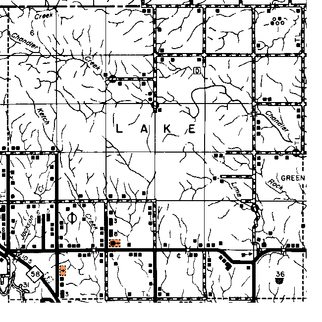
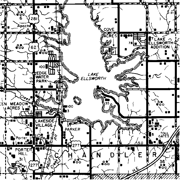
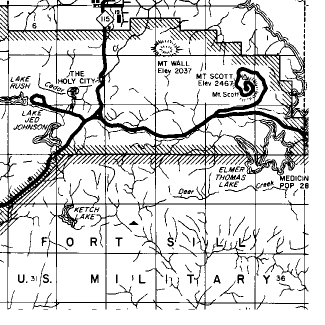
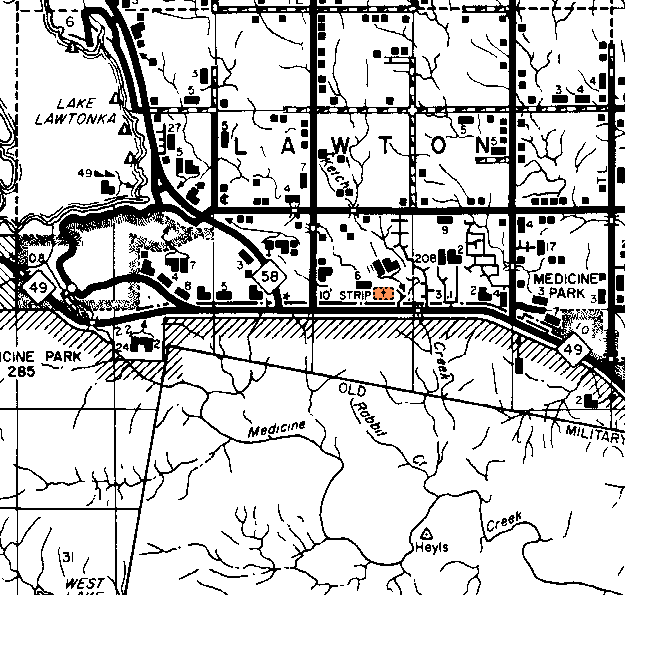
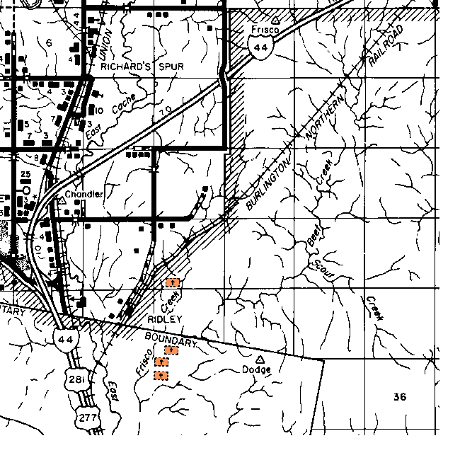
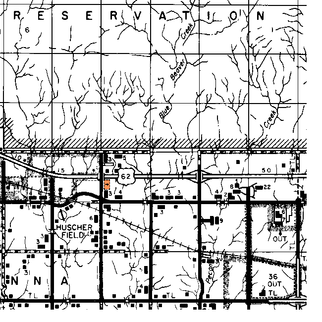
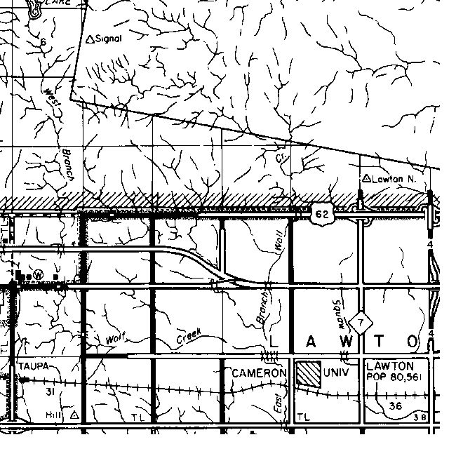
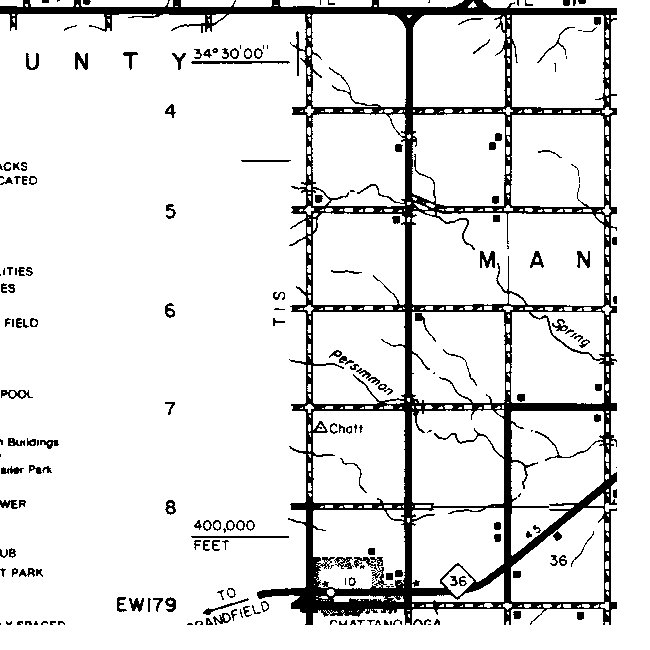
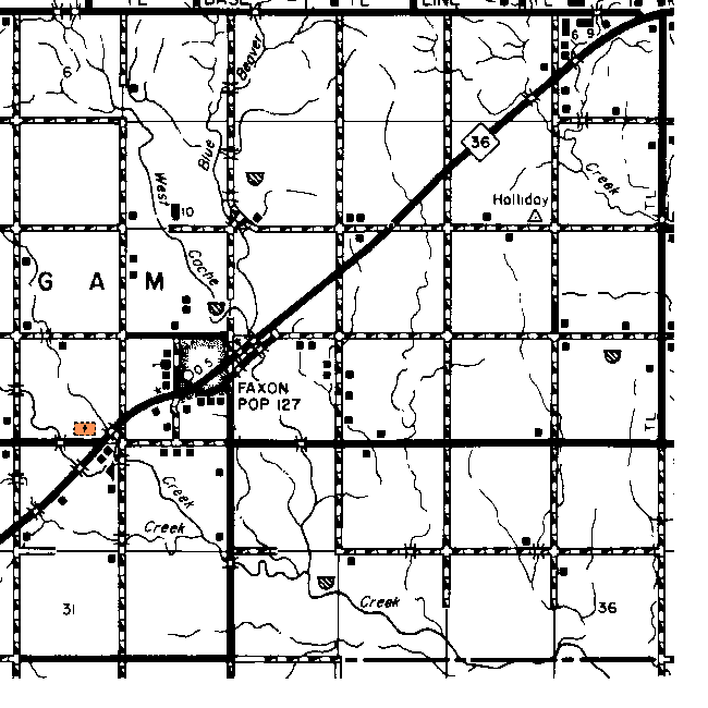
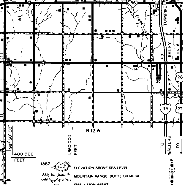
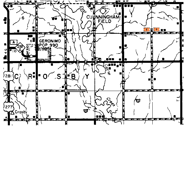
Comanche County Township Maps

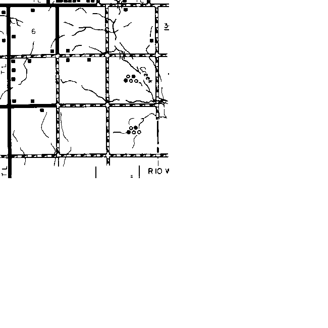
The gridlines on this map are the Township and Range boundaries. Click on any point on the County map to see a much more detailed map showing the 36 sections that make up the numbered Township surrounding it or use the links provided on the List of Towns in Comanche County to find the right map.   

  Range 15W Range 14W Range 13W Range 12W Range 11W Range 10W Range 9W
4N

com-4n-15w.gif (22105 bytes)

com-4n-14w.gif (22597 bytes)

com-4n-13w-cem.gif (25369 bytes) com-4n-12w-cem.gif (24645 bytes) com-4n-11w.gif (28602 bytes)

com-4n-10w-cem.gif (25896 bytes)

com-4n-9w-cem.gif (24078 bytes)

3N

com-3n-15w.gif (25056 bytes)

com-3n-14w.gif (24558 bytes)

com-3n-13w.gif (25930 bytes) com-3n-12w-cem.gif (25457 bytes) com-3n-11w-cem.gif (26177 bytes)

com-3n-10w.gif (25622 bytes)

com-3n-9w-cem.gif (25072 bytes)

2N

com-2n-15w-cem.gif (26152 bytes)

com-2n-14w-cem.gif (27861 bytes)

com-2n-13w-cem.gif (26538 bytes) com-2n-12w.gif (23541 bytes) com-2n-11w.gif (25429 bytes)

com-2n-10w.gif (24029 bytes)

com-2n-9w.gif (16533 bytes)

1N

com-1n-15w-cem.gif (24130 bytes)

com-1n-14w.gif (22660 bytes)

com-1n-13w-cem.gif (25030 bytes) com-1n-12w.gif (26406 bytes) com-1n-11w-cem.gif (28574 bytes)

com-1n-10w-cem.gif (23950 bytes)

com-1n-9w.gif (18261 bytes)

1S   com-1s-14w.gif (14345 bytes) com-1s-13w-cem.gif (22050 bytes) com-1s-12w.gif (19264 bytes) com-1s-11w-cem.gif (17272 bytes) com-1s-10w.gif (8085 bytes)  

Thanks for stopping by!
Maps 'n' More

State-wide resources formerly found on Ceil's Corner 
Created By Sharon McAllister
Became an OKGenWeb Special Project  March 31, 2001
© 2001 - 2024 OKGenWeb

mini envelope E-mail Maps 'n' More

bug  Find any bugs or broken links?
Please Report them here
bug

Page last updated on
 Thursday, April 18, 2024 

This site maintained by Mel Owings