
Maps
'n' More
Created
By
Sharon McAllister

|
|
Maps
'n' More |
|
|
|
||
|
|
|
||
|
|
|
|
|
|
|
|
|
|
|
|
|
|
|
|
|
|||
| Back to Craig Co. Map Links |
1915 Atlas
Craig County
![]()
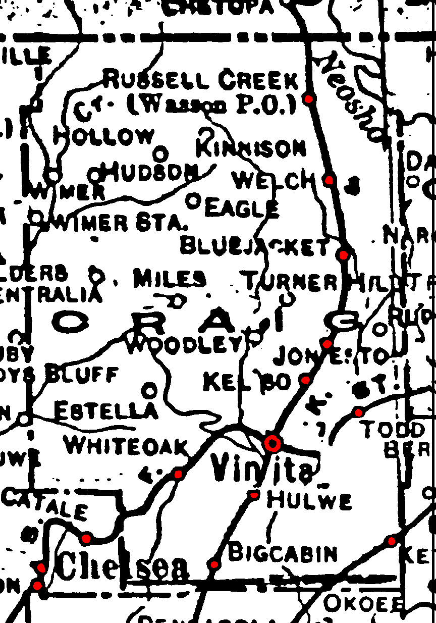
Railroad Stations are shown in red.
The north/south line was the Missouri, Kansas and Texas. It was still in operation in 1972.
The main southwest/northeast line was the St. Louis and San Francisco. It was still in operation in 1972.
The K. O. & G. cut through the southeast corner, but had been abandoned by 1972.
The Atlas shows no roads in Craig County. The thin lines are rivers and creeks.
![]()
|
Page last updated
on
Wednesday, July 15, 2026
This site maintained by
Mel Owings
![]()