
Maps
'n' More
Created
By
Sharon McAllister

|
|
Maps
'n' More |
|
|
|
||
|
|
|
||
|
|
|
|
|
|
|
|
|
|
|
|
|
|
|
|
|
|||
| Back to McCurtain Co. Map Links |
1915 Atlas
McCurtain County
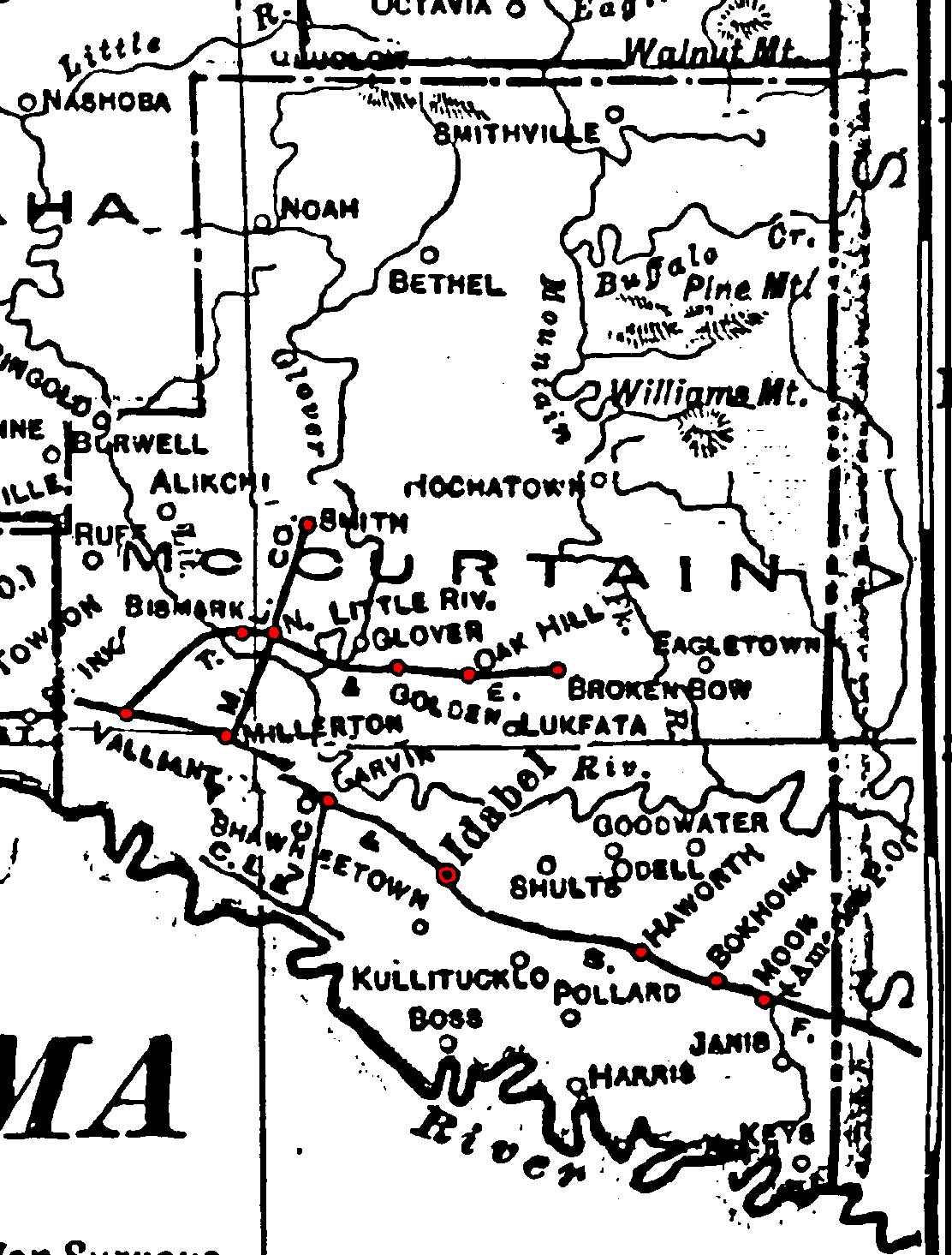
Railroad Stations are shown in red.
The east/west line was the St. Louis and San Francisco. It was still operational in 1972.
The east-west Short Line was the Texas, Oklahoma & Eastern. By 1972 it had been extended into Arkansas and was still in operation.
The M. L. Co. Short Line from Smith to the other two railroads was a company line that had been abandoned by 1972.
The Atlas shows no roads in McCurtain County. The thin lines are rivers and creeks.
![]()
|
Page last updated
on
Wednesday, July 15, 2026
This site maintained by
Mel Owings
![]()