Maps
'n' More
Created
By
Sharon McAllister
|
Maps
'n' More |
||
|
|
||
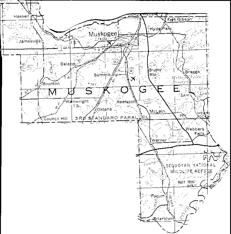
Muskogee County, OK
1972 Map
The gridlines on this map are the Township and Range boundaries. Click on any point on the County map to see a much more detailed map showing the 36 sections that make up the numbered Township surrounding it.

![]()
|
Page last updated
on
Sunday, December 14, 2025
This site maintained by
Mel Owings
![]()