
Maps
'n' More
Created
By
Sharon McAllister

|
|
Maps
'n' More |
|
|
|
||
|
|
|
||
|
|
|
|
|
|
|
|
|
|
|
|
|
|
|
|
|
|||
| Back to Pottawatomie Co. Map Links |
1915 Atlas
Pottawatomie County
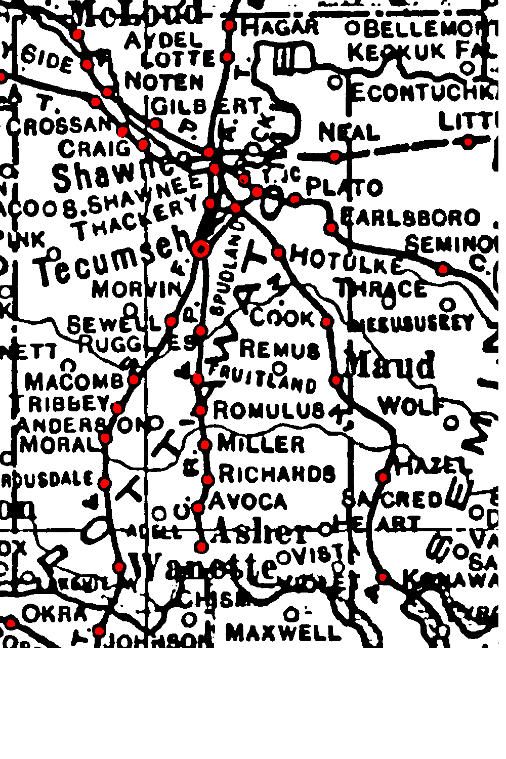
The short line that lies east of the C. R. I. & P., extending from Tecumseh to just north of Shawnee, is a trolley.
All dark lines are railroads. Thin ones, rivers and creeks.
![]()
|
Page last updated
on
Wednesday, July 15, 2026
This site maintained by
Mel Owings
![]()