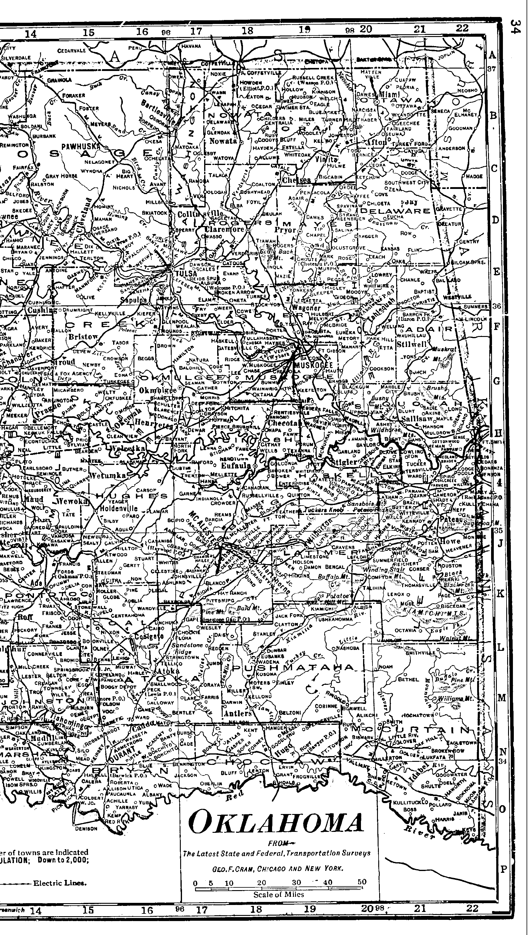
Eastern Oklahoma
1915 Atlas
This image takes 2 to 3 minutes to download, but can be used to locate counties within the state if you know the general area but not the county. Clicking on the name of a county shown on this map will take you to a more detailed map of that county. (If you already know which county you want, you can get to it faster through the list of counties.)
