SULPHUR SPRINGS I. T.
BECOMES PLATT NATIONAL PARK IN 1906
In 1902 and 1904, the federal government seized the middle of Sulphur Springs I. T. to create the Sulphur Springs Reservation. Here are some photos of the early years of the town and the park and the effort to create the new reservation.
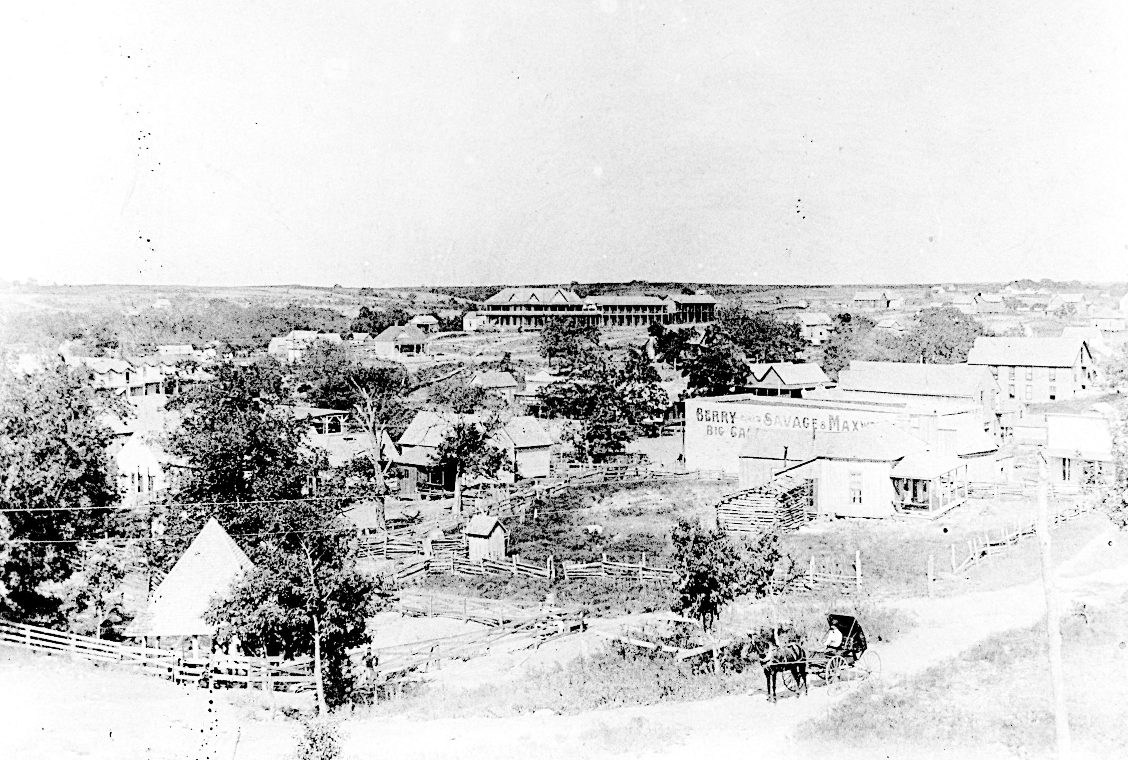
This 1902 photo is of Sulphur Springs as it appeared in the map above. The White Sulphur Inn is the large building in the center - top of the photo. Park Supt. Joseph Swords is in the carriage - bottom, right. The pyramid shaped roof, bottom left, is Hillside Springs.
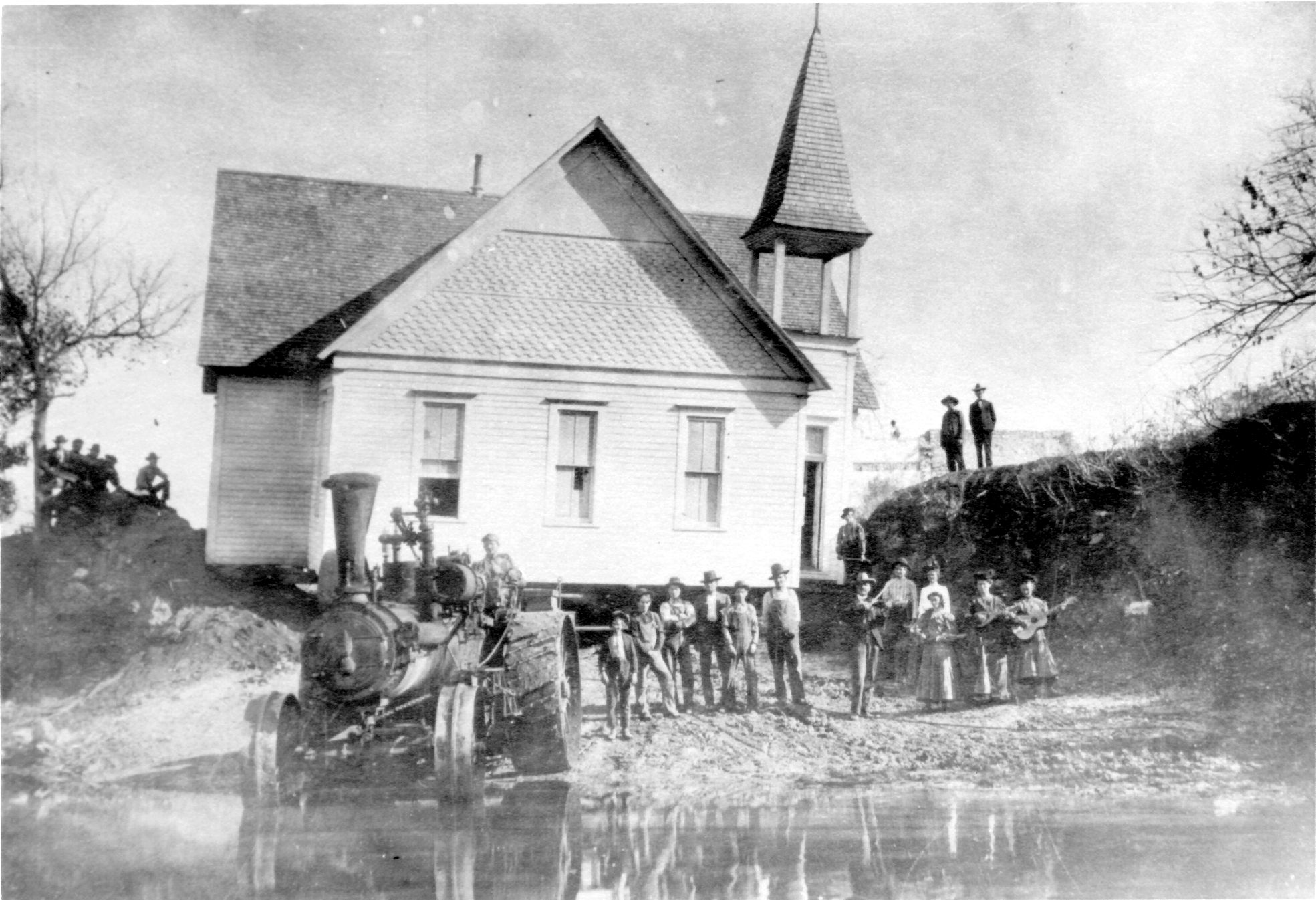
As the government assumed control of the town of Sulphur, the property owners had to move their buildings outside the park boundary. This meant that stores, houses and even churches had to be moved. Here a church is being pulled across Rock Creek by means of a steam powered tractor. Note the band on the right with the musical instruments. We wonder if they were singing "Shall we gather at the river"?
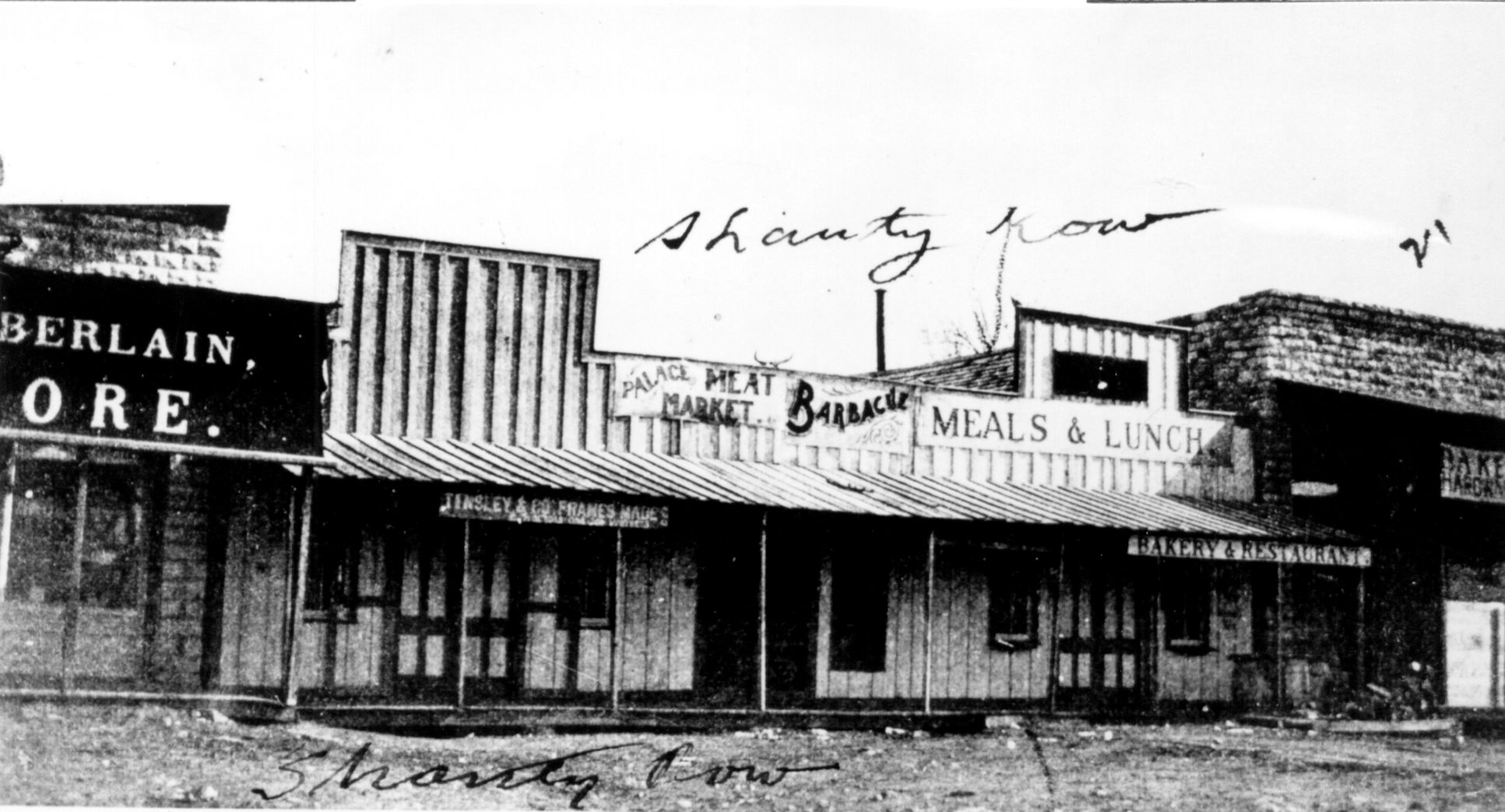
Shanty Row sat along the south bank of Sulphur (Travertine) Creek where Lincoln Bridge is today.
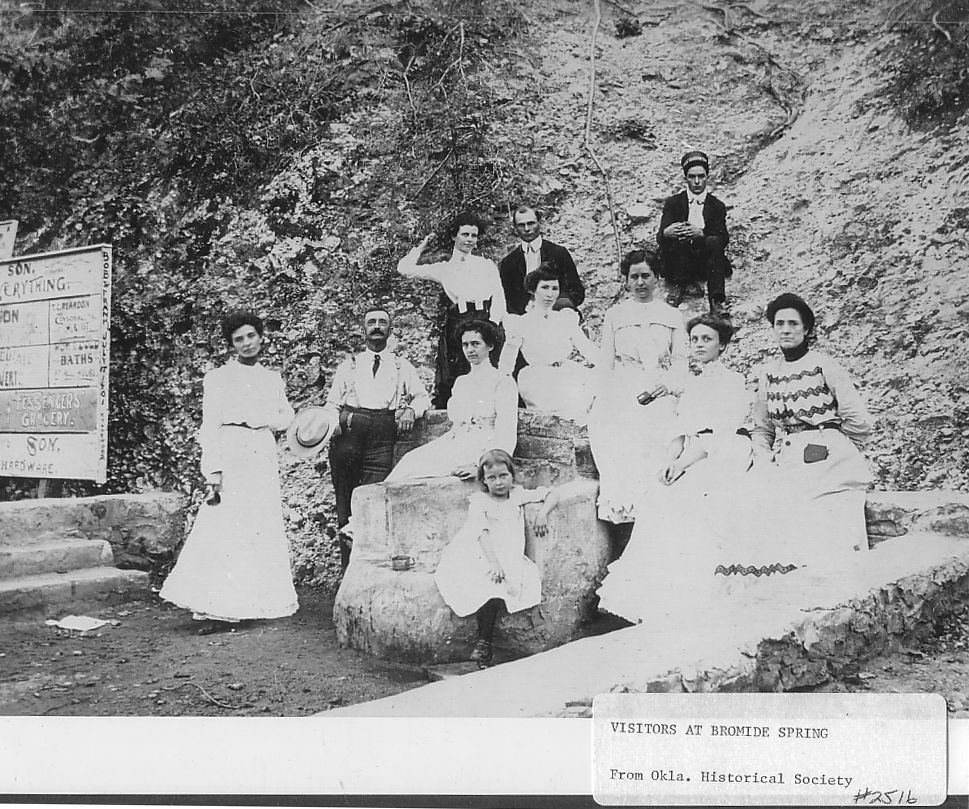
This 1901 photo shows well dressed visitors to the Bromide Springs.
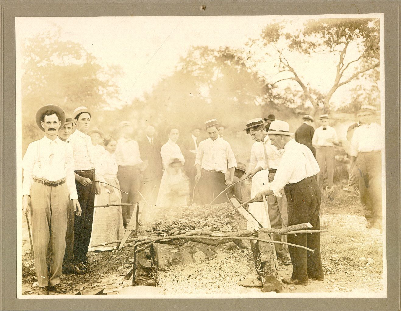
This 1901 photo is of a BBQ in Sulphur Springs. Note how well dressed the visitors are.
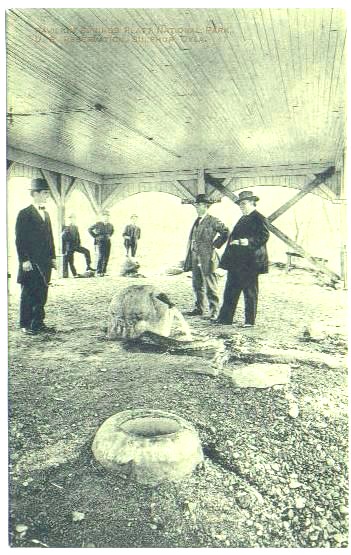
This photo shows Big Tom and Arsenic Springs in the new pavilion building built by the park. The "X" bracing was added to the building after a tornado hit the building in 1908.
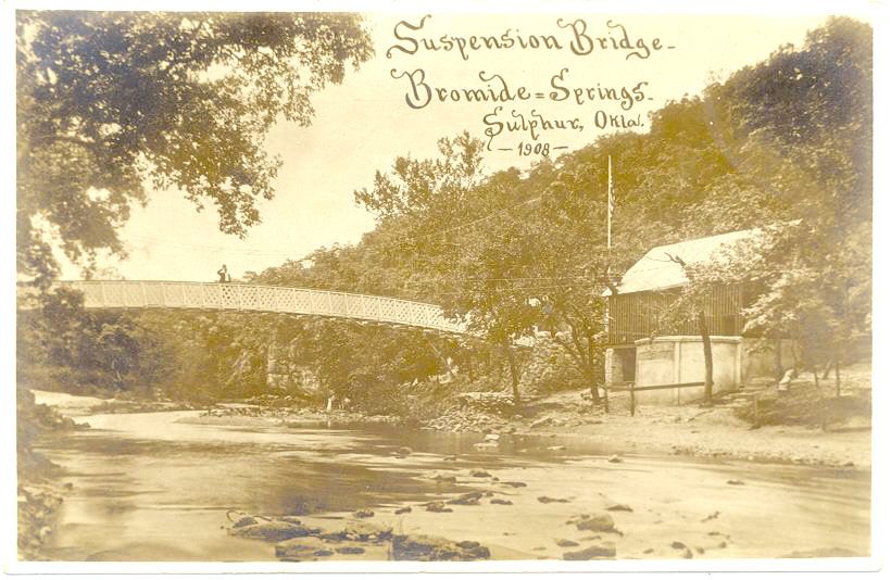
This Suspension Bridge was built in 1908. The Bromide Spring Pavilion, on the right, was built in 1907. Both were destroyed in the Great Flood of 1916 when a dam burst upstream on Rock Creek and sent torrents of water, mud, trees and houses down stream.
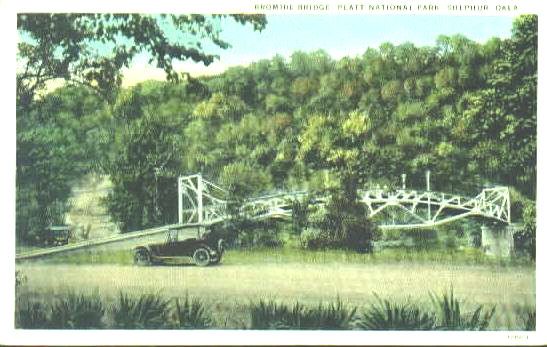
After the Suspension Bridge was destroyed in the 1916 flood, this Iron Bridge was built in 1909 to replace it. The bridge was removed in 1941 as part of the Park Service's new landscaping policy of "Boulder and Beam" which was more natural. Contrary to popular belief, it was not removed for the "scrap steel drives" of World War II. It was decided to remove the bridge in 1938 but it was not removed until 1941.
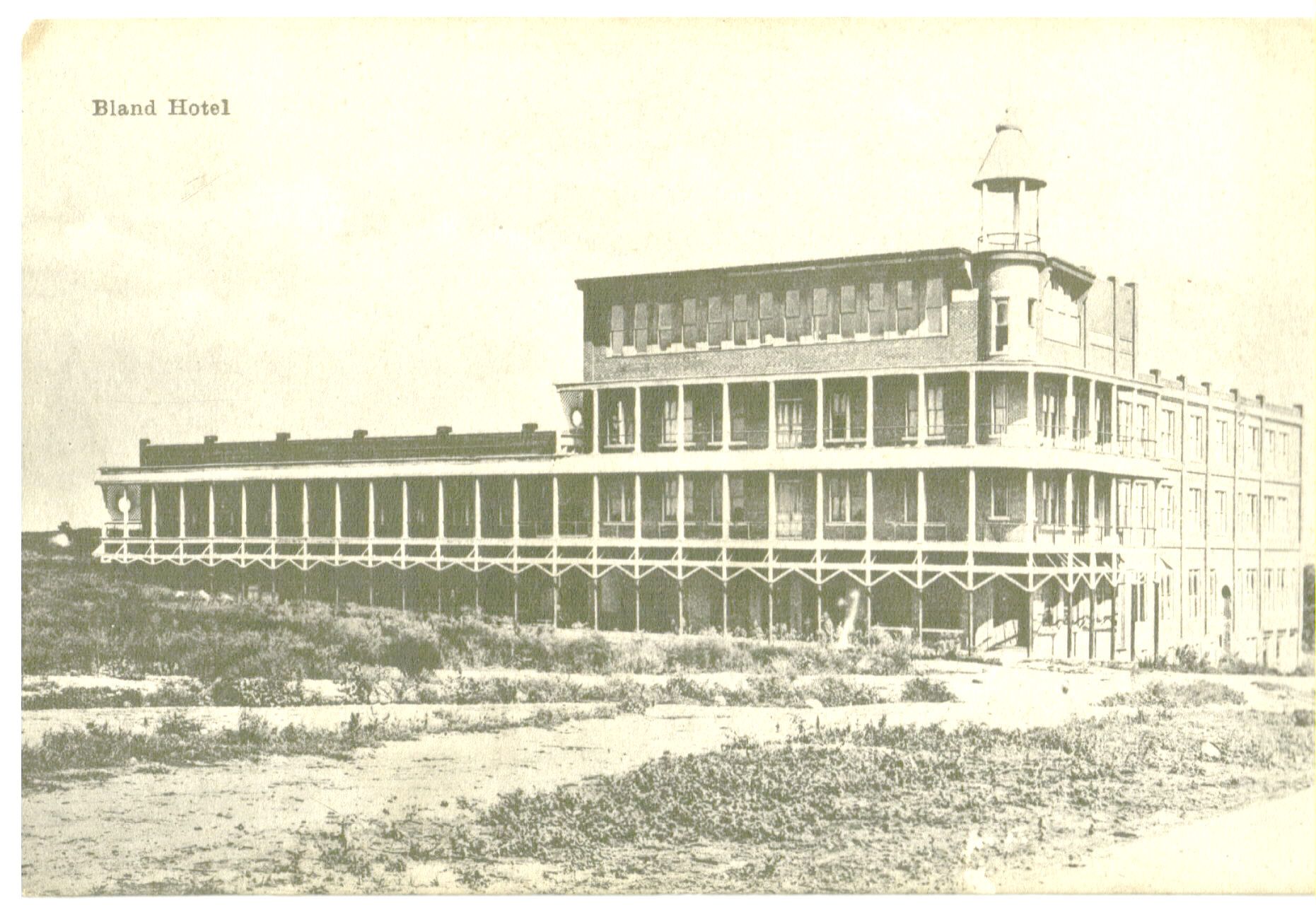
The Bland Hotel was started in 1902 being one of the grandest hotels in Indian Territory. When the government took the second parcel of land in 1904, the hotel was never completed and sold to the government for $50,000. It sat where the buffalo pasture is located today. The former owners of the Bland later built the Artesian Hotel.
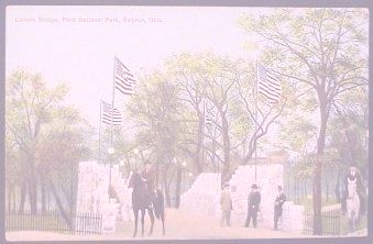
Superintendent Greene was a bridge builder. In 1909, he had the Lincoln Bridge, above, the Washington Bridge and the Suspension Bridge built.
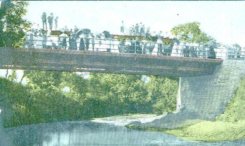
The Washington Bridge was built across Rock Creek on Davis Avenue (Broadway). This photo was taken in 1909 during the grand opening of the bridge.
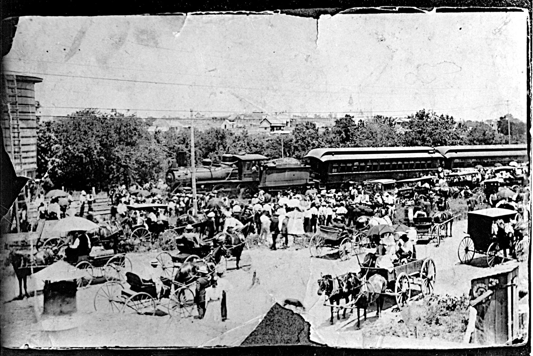
The Sulphur Springs Railroad, built in 1902, brought thousands of visitors to the new park every weekend.
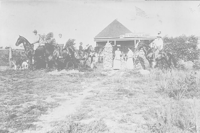
This photo taken in 1908 shows the Leeper House which was converted to the new park headquarters. On the far left is Ranger Forest Townsley, Supt. Greene is second from the left and Ranger Robert Earl if far right. Note the very fine horses that the rangers rode.
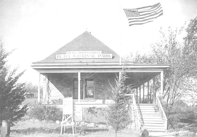
This photo taken about 1912 (there are 48 stars on the flag) shows the Leeper House. The Leeper Brothers were lumber dealers in Sulphur and first built this house in the 1890's for a hunting lodge.
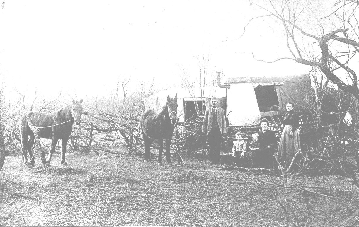
These early campers in the Reservation pose for a picture. Notice how well dressed they are with coat and tie. Also, it is interest to note the stove pipe sticking out the side of the wagon. This must have been a 1900 model of the Winnebago.
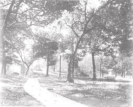
Flower Park with the new Lincoln Bridge in the background about 1909.
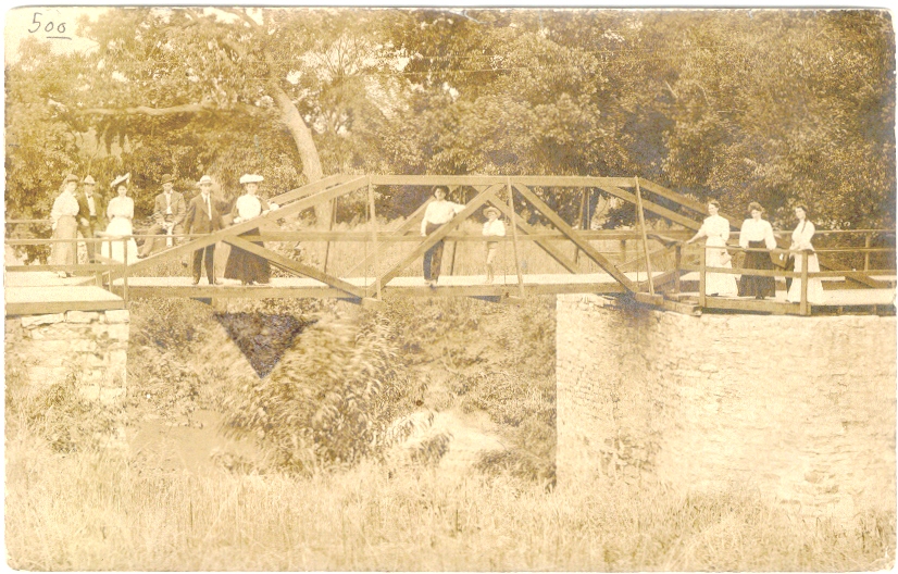
This wooden footbridge was used in the early days before Lincoln Bridge was built across Travertine Creek.
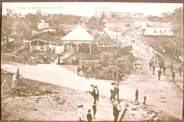
In this scene is the first Pavilion Springs building in the center. The smaller pavilion on the left is Townsley Springs or "Merry Widow Spring" as it was known locally. the large building on top of the hill is the Bland Hotel. You are looking south in this photo. The year is about 1904.
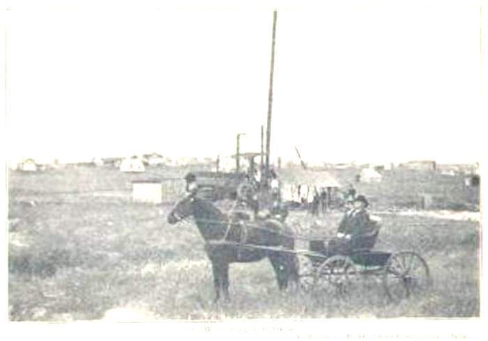
This scene is of a rotary rig drilling an artesian well in new Sulphur. After the citizens were evicted from the Park, they had no drinking water. All the springs and wells were inside the boundary of the new Reservation. The area where the citizens were forced to move was solid rock and hand digging wells was impossible. At one time, there were 45 drilled artesian wells in Sulphur.
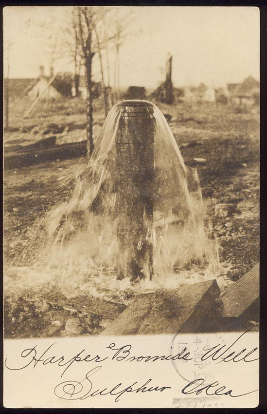
After the artesian wells were drilled, this is how most were fitted and appeared. Citizens from all around the neighborhood came to get their domestic water.
Contributed by Dennis Muncrief, February 2008.
![]()