
Your Source For Free Choctaw County Oklahoma Genealogy
Maps
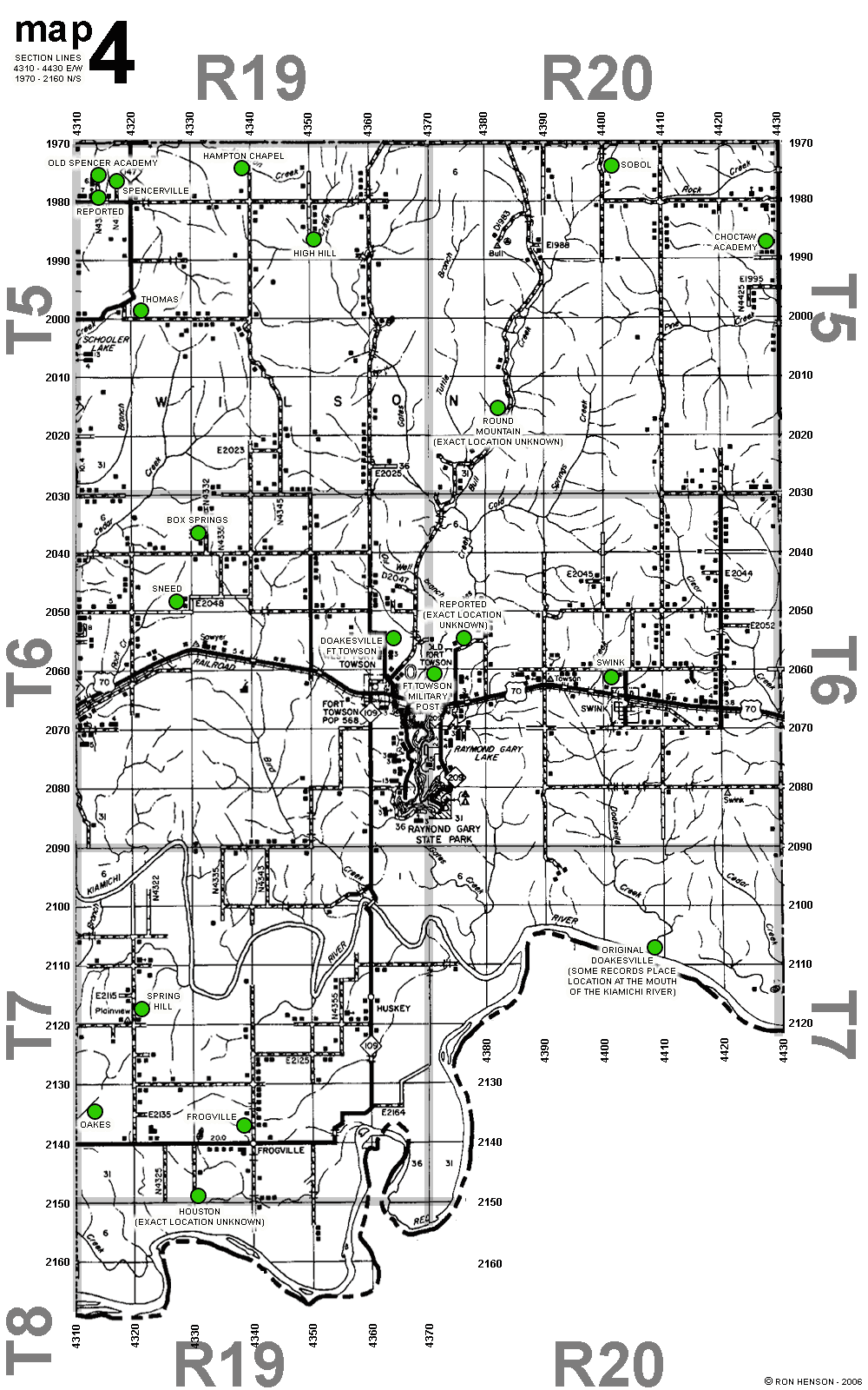
Every section line in th county is numbered. East/West numbering begins
with 1970 at the north and going to 2160 at the south.
North/South
numbering begins with 3980 at the Bryan County line and goes to 4430 at the
McCurtain County line.
Clickable Map
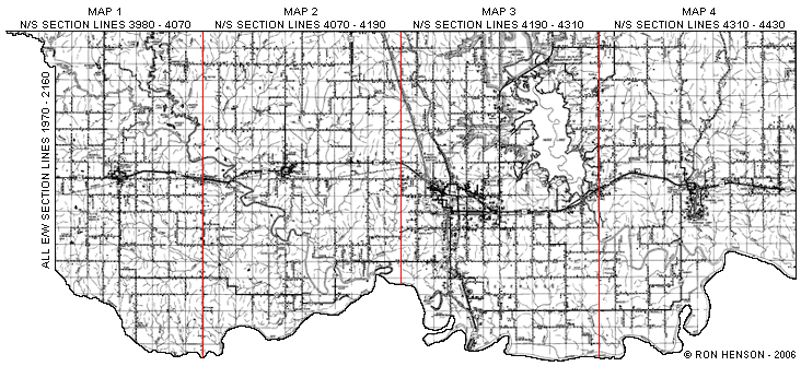
Boswell......Map 1....160k
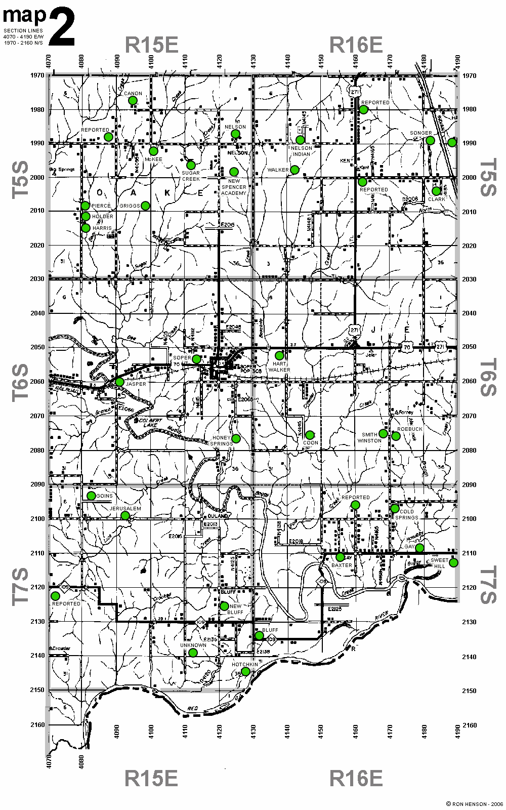
Soper........Map 2....95k
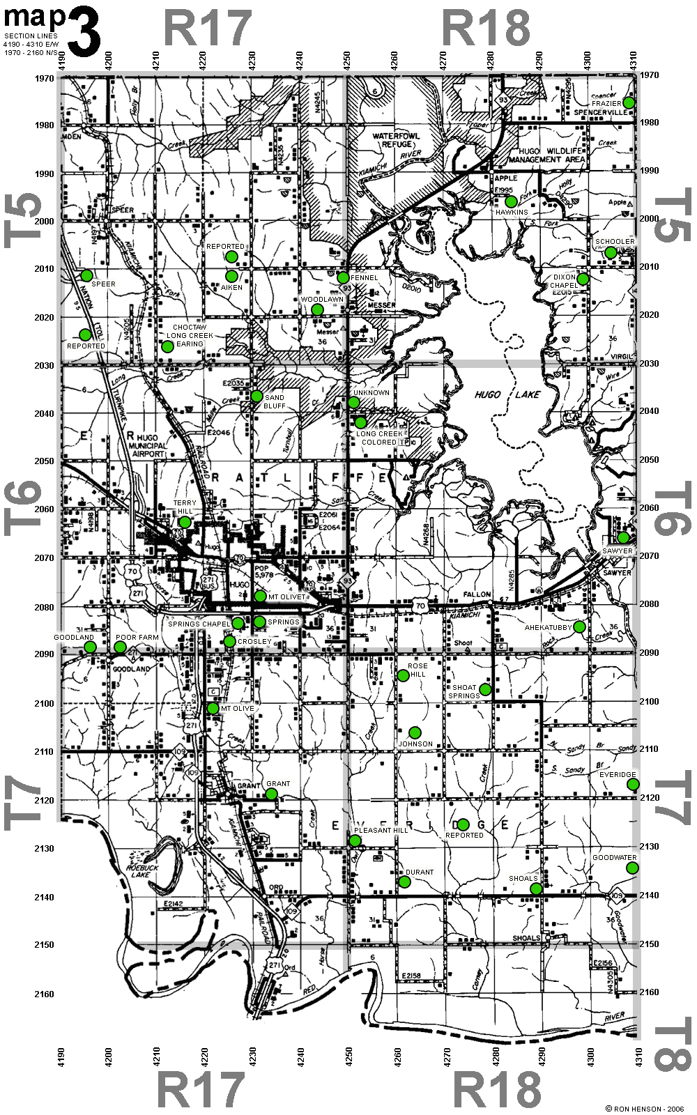
Hugo..........Map 3....250k
Ft Towson...Map 4....200k
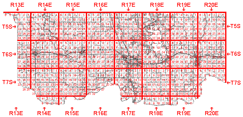
Each township is divided into 36 sections (each section is one square mile)
Alikchi Quadrangle detail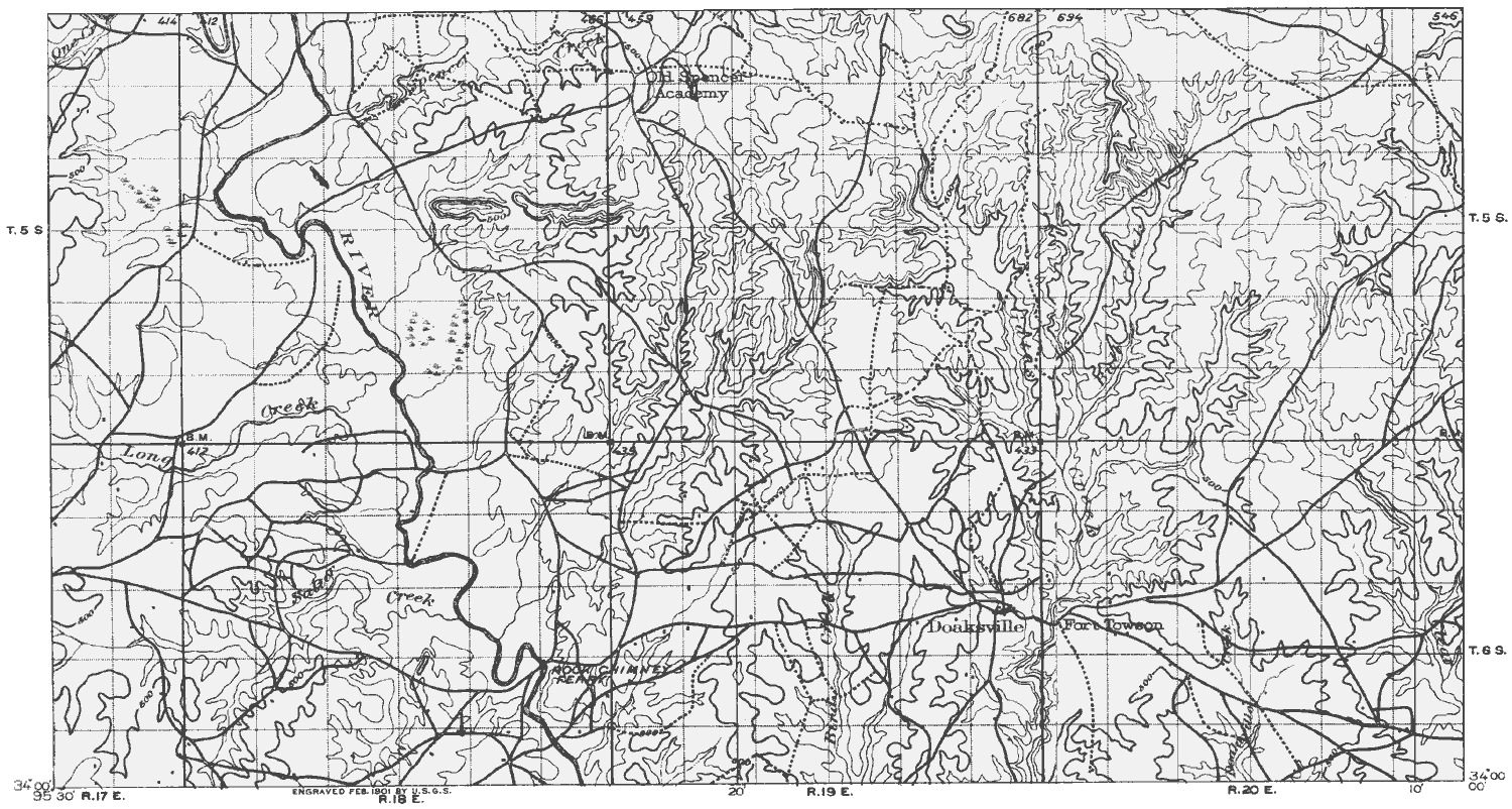 |
Antlers Quadrangle detail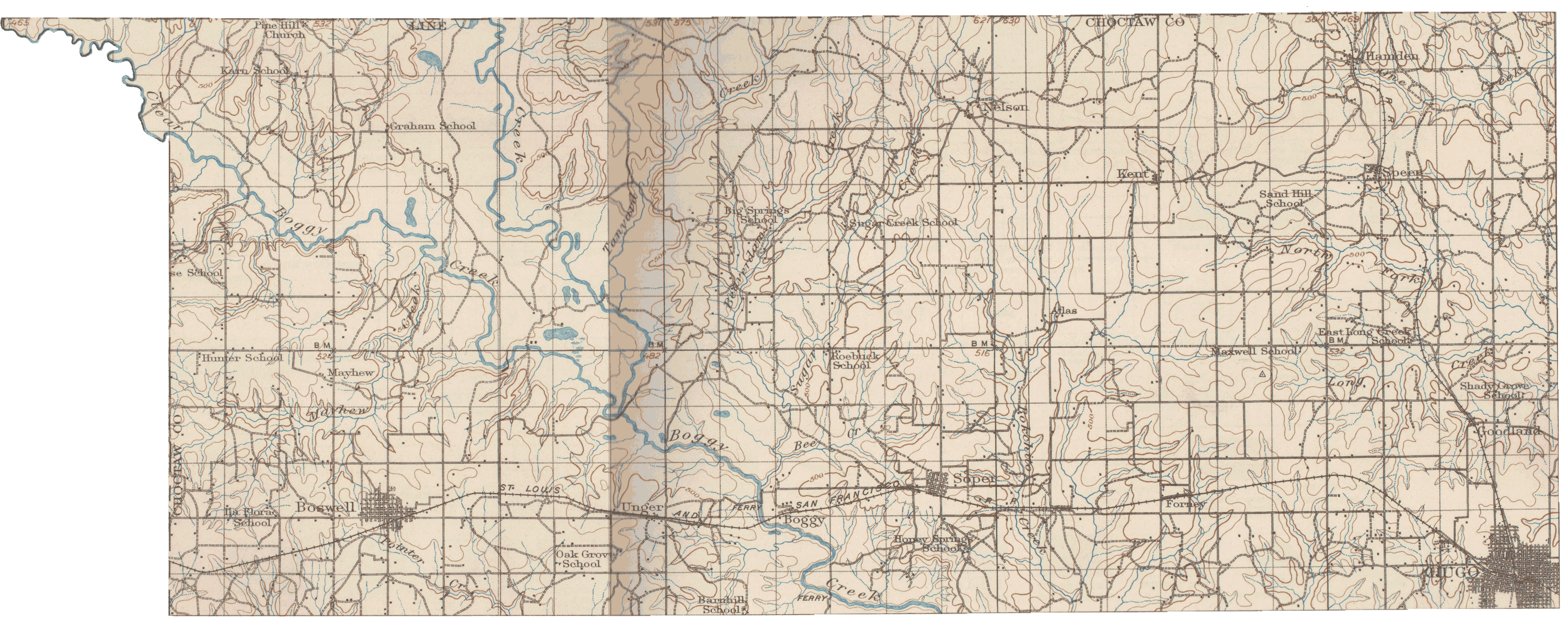 |
|
| 1897 Topo Map of N.E. Choctaw Co. 1500x802 pixels 250k |
1912 Topo Map of N.W. Choctaw Co large file! 3000x1206 pixels 1.2mb smaller pdf version 200k |
Census Enumeration Maps |
Ferry Locations |
Choctaw Nation 1903 Postal Routes
Plat Maps | Pre-Statehood Maps
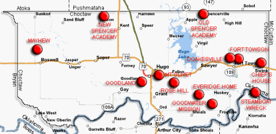
| Schools | Towns
|
Arial
Photo
April Makerney - County Coordinator
Billie Heath - County Assistant
Cindy Burkhalter - County Assistant
All materials on this site are subject to copyright laws. Do not 'contribute' the material (including lists and photos) located on this site to other websites. You may print or save materials to your computer for your personal use only. Any other use of this material requires consent of the copyright holder. This material may not be reproduced in any format for profit or publication by any organization or person.
Area Resources
Bibliography
Choctaw County
Genealogical Society
Oklahoma Historical
Society
Disclaimer
OKCHOCTA is part of the USGenWeb
Project. Links to web sites that are not part of USGenWeb Project are
provided for your convenience and do not imply any endorsement of the
websites or their contents by The USGenWeb Project.
