Maps
'n' More
Created
By
Sharon McAllister
|
Maps
'n' More |
||
|
|
||
| Back to Oklahoma County Township Maps | Back to Oklahoma County Cemetery Lists |
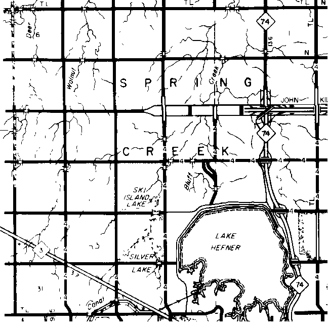
Oklahoma County - T13N-R4W
Click on Cemetery Name for links to online information such as canvasses.

| Cemetery | Directions/Comments/Links | Sec | Latitude | Longitude | Quad |
| Benge | Farthest NW corner of the site occupied by the larger Spring Creek Cemetery located North of the intersection of Memorial Road and County Line Road in Oklahoma County. This is the "old part" of the Cemetery, with markers of many early settlers. Benge Canvass | 7 | |||
| Chapel Hill | 30 | ||||
| Olive Hill | Go to GNIS Map. Olive Hill Website * | 29 | 353437N | 0973819W | Bethany |
| Resurrection | 32 | ||||
| Spring Creek | Located North of the intersection of Memorial Road and County Line Road in Oklahoma County. This is the "old part" of the Cemetery, with markers of many early settlers. Go to GNIS Map. Spring Creek Canvass | 7 | 353648N | 0974021W | Bethany |
Chapel Hill Memorial Gardens is in Section 30. Resurrection is in Section 32.
* The website for Olive Hill Cemetery contains far more than the traditional list of names & dates, this site also contains a map of the plots, burials keyed to gravesite, and many family histories and genealogies. The township map showing original owners of all homesteads in Spring Creek Township makes this a must visit for anyone studying early families in the area.
![]()
|
Page last updated
on
Friday, January 09, 2026
This site maintained by
Mel Owings
![]()