|
|
Ft. Arbuckle, C.N., I.T. |
|
| Daily
Reports & Orders Daily Reports Weather Report The Indians People Photos |
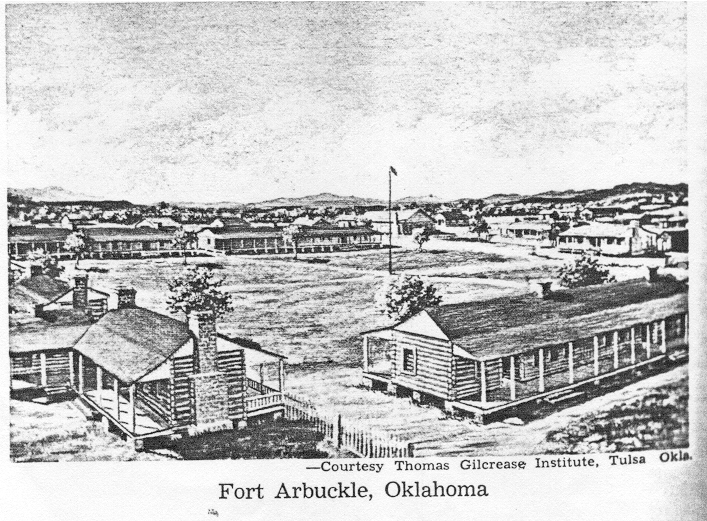
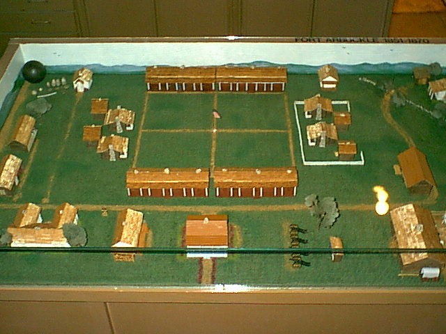
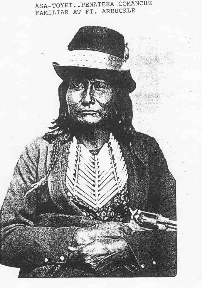
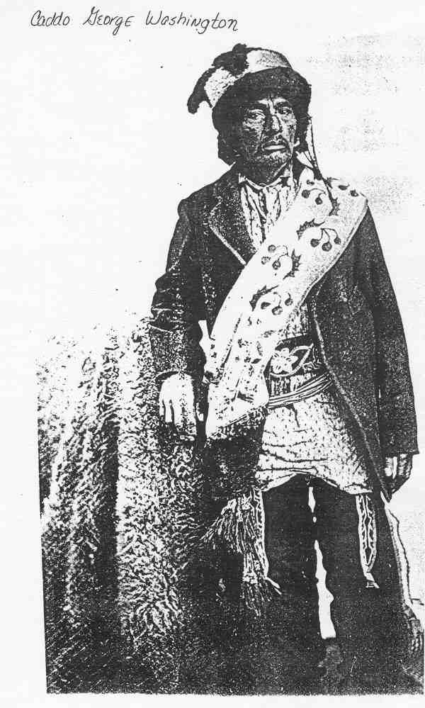
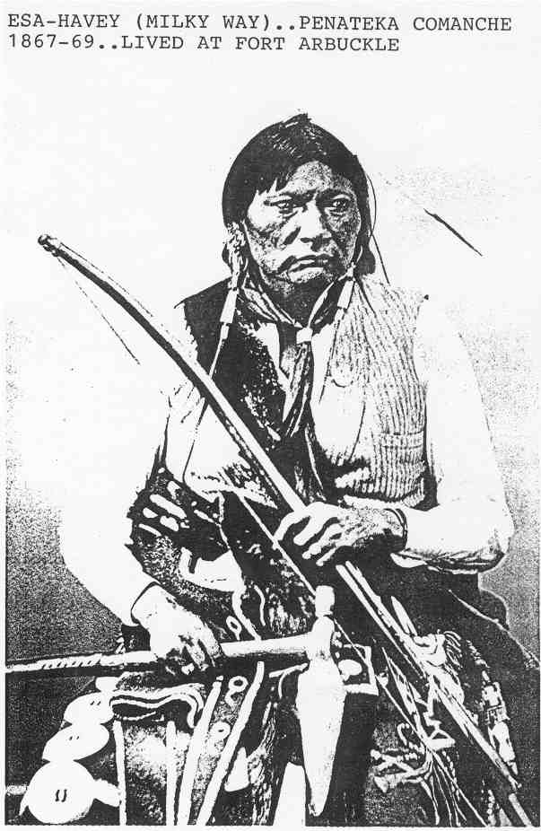
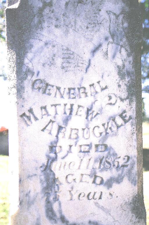
Location: 34° 31' 32"N - 97° 14' 55"W ---SE1/4, Sec 30, T1N, R1W Fort Arbuckle was built in the unsettled Indian Territory to protect the Civilized Indians, Chickasaws and Choctaws, from the wild rampaging Kiowa and Comanche Indians. There were also the wagon train emigrants making their way to the California gold fields using the Dona Ana and California Trails between Ft. Smith and Santa Fe which passed through this area. Captain Randolph B. Marcy was charged with the choice of the locations and construction of the fort. The site near Wild Horse Creek and the Washita River was not only rich in natural beauty but there was also abundant timber, grass and water, all necessary for an army post. From the nearby mountains, lead was mined for making ammunition. The fort was established on April 19, 1851 and named for the late General Matthew Arbuckle who had been in command of troops in Military Department of Missouri until his death on June 11, 1852. He died of cholera in Ft. Smith. The mountains in western Murray County received their name from Fort Arbuckle. An interesting point is that Dr. R. Glisan, who was the first surgeon (1851) at the fort, stated in his book "A Journal of Army Life" (1874) that the mountains were originally called the Washita Mountains. There was a temporary garrison called Camp Arbuckle on the Canadian River for less than a year north of Purcell. The famed Indian scout Black Beaver and his band of Delaware lived at Camp Arbuckle after the Army moved on to the permanent location at Ft. Arbuckle. There was also a Ft. Arbuckle near Tulsa that was also short lived in the 1830's at the confluence of the Cimarron and Arkansas Rivers. Established on June 24th, 1834, the post was abandoned on November 11, 1834. In 1851, Ft. Arbuckle was on the fringe of the civilized world in the west. It was used for several purposes. Although there were no major Indian battles at the fort, it was the deployment point for the army to points south and west. These troops garrisoned at Ft. Arbuckle were sent on to Texas, Mexico and New Mexico to fight the Comanche. It had a good hospital where the seriously wounded in these battles were brought to recover. The post was also used for the re-supply of troops in the field and as a station for the immigrant trains traveling to the west. Ft. Arbuckle was originally a post that measured 12 miles by 12 miles. Later, at the request of the Chickasaw government, it was reduced in size to 9 miles by 12 miles. The reason for the large size of the post was to have adequate space for the friendly tribes to camp in the protection of the army post. At one time there were two camps near the fort that contained 400 Kickapoo Indians. Those tribes, among others, were the Delaware, Wichita, Caddo and some of the Peneteka band of Comanche who were a little more friendly that the Quohada band.. During the less than 20 years it was in operation, Fort Arbuckle was occupied by the U. S. Army, Confederate troops including the Chickasaw Brigade during the Civil War, then reoccupied by the U. S. Army's 10th Calvary or "Buffalo Soldiers". When Fort Sill was established, the troops from Fort Arbuckle were transferred there. The cemetery was moved to Ft. Gibson National Cemetery. The only remaining actual part of the Fort is a chimney from the officer's quarters, now a part of the home still on the fort site. The howitzers from Fort Arbuckle are on display at Ft. Sill. A door from one of the officer's quarters is on display at the Arbuckle Historical Museum in Davis, OK.
1860 Rendition of Fort Arbuckle |
