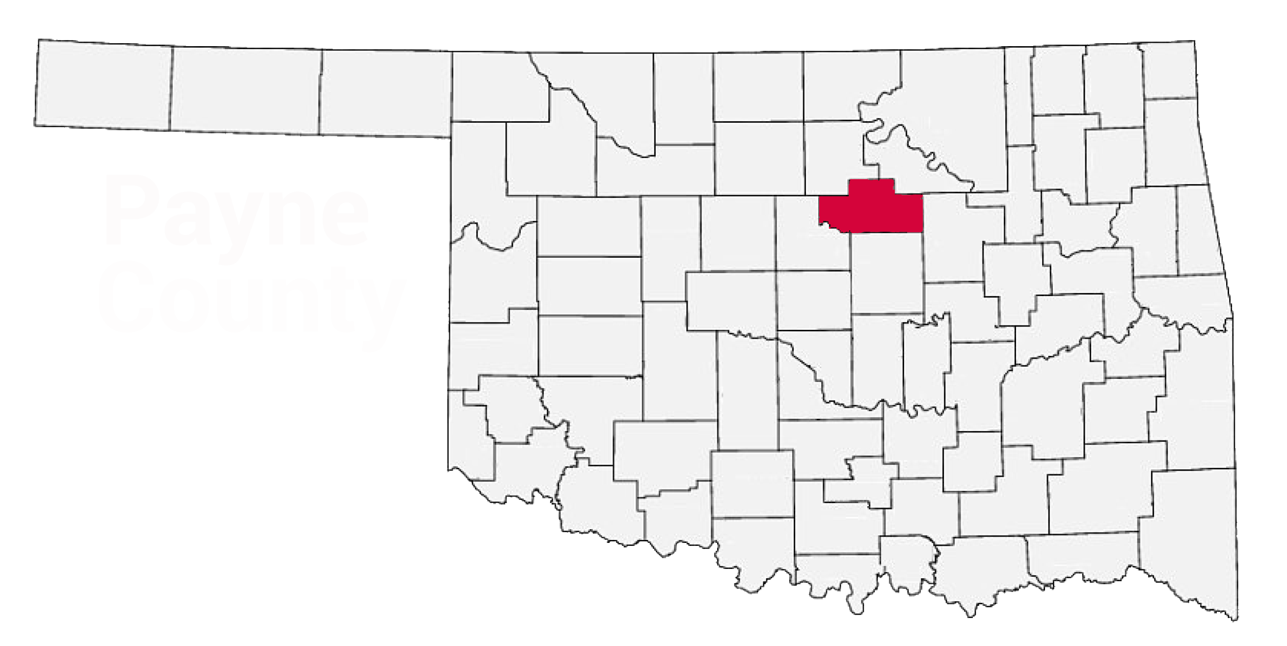
Sanborn Fire Maps
Sanborn maps are great for learning about the area your ancestors lived.
View the downloadable Payne County Sanborn maps
Clarkson Fire Insurance Maps
The Gateway to Oklahoma History has a collection of Clarkson Fire Insurance Maps.
USGS Historical Maps
The US Geological Survey has historical topographical maps to download, as well as online software for overlaying maps.
Bureau of Land Management
The General Land Office has a searchable database that contains not only land patents, but images of survey plats and field notes.
Search the GLO RecordsOklahoma Department of Libraries
On their site DigitalPrairie you can search through their digital collection for maps and atlases. Here's a copy of an atlas of Payne County that I found while searching:
Atlas of Payne CountyThe Oklahoma State University Library
The Oklahoma Digital Maps Collection contains over 9,200 images from the period 1803-1925.Here are the results from a search I did:

